Transport Functions
Rail
Road
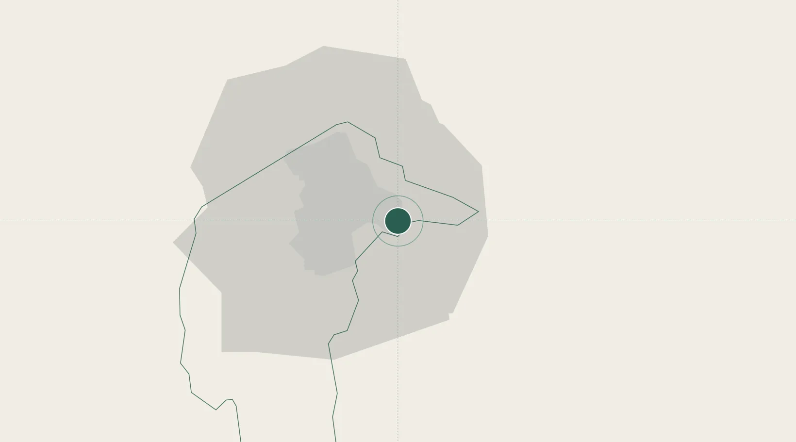
Hub Profile
Place type
Populated place
Region
New South Wales
Population
6,296
Time zone
Australia/Sydney
Elevation
581 m
Location
Nearby Logistics Neighbours
Cities
- 1Fyshwick/Canberra8 km
- 2Michelago42 km
- 3Tarago49 km
- 4Gunning63 km
- 5Yass65 km
Ports
- 1Batemans Bay93 km
- 2Jervis Bay145 km
- 3Port Kembla181 km
- 4Eden201 km
- 5Botany Bay237 km
Airports
- 1Canberra Airport6 km
- 2Gundaroo Airport33 km
- 3Goulburn Airport75 km
- 4Tumut Aerodrome91 km
- 5Moruya Airport102 km
Trade Zones
DatabookThe Record of Consolidated Knowledge
Australia beyond logistics?