Transport Functions
Multimodal
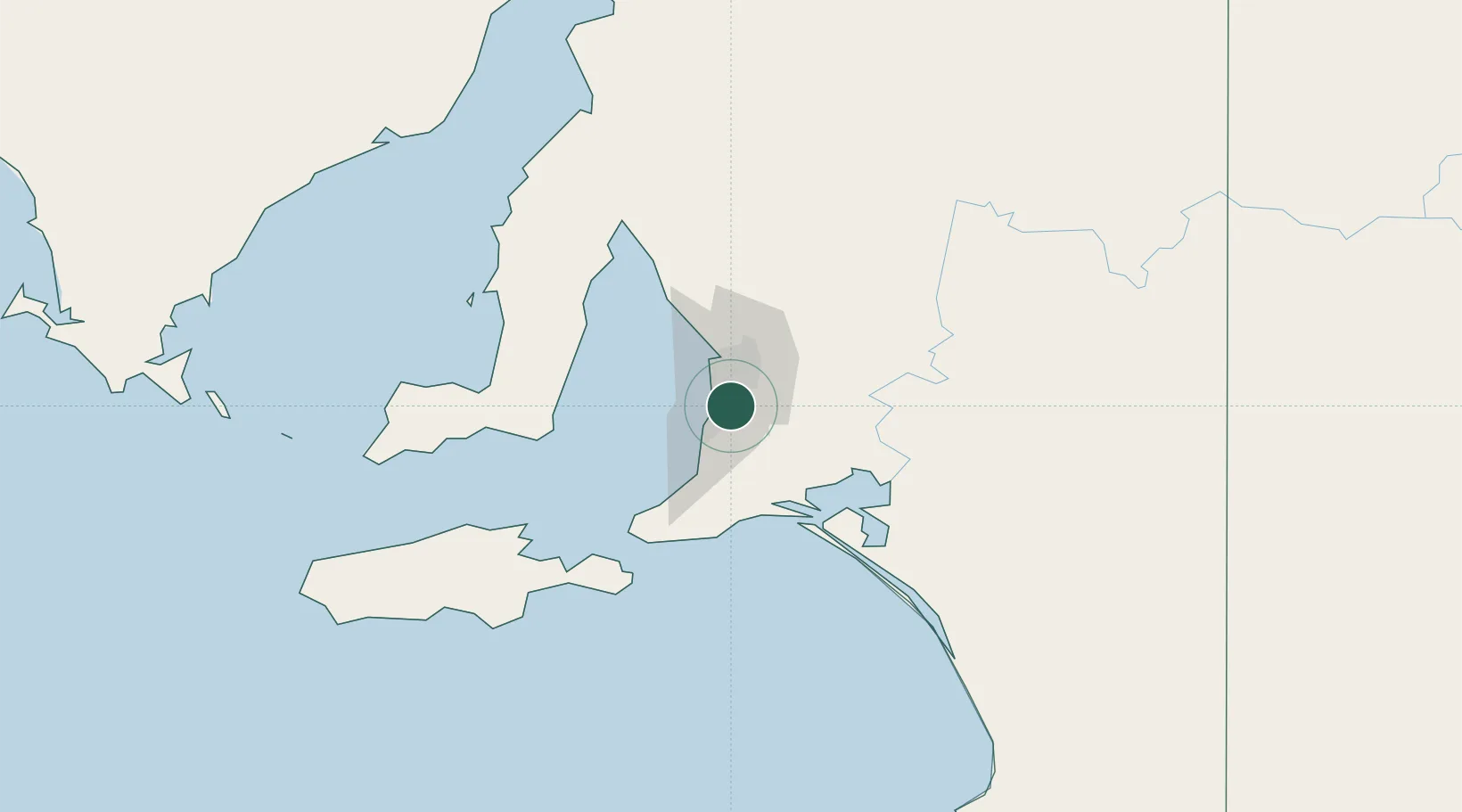
Hub Profile
Place type
Urban district
Region
South Australia
Population
4,072
Time zone
Australia/Adelaide
Elevation
265 m
Location
Nearby Logistics Neighbours
Cities
- 1Bedford Park4 km
- 2Coromandel Valley4 km
- 3Westbourne Park6 km
- 4Edwardstown6 km
- 5Chandlers Hill7 km
Ports
- 1Port Adelaide21 km
- 2Port Giles76 km
- 3Klein Point76 km
- 4Ardrossan90 km
- 5Kingscote111 km
Airports
- 1Adelaide International Airport10 km
- 2RAAF Base Edinburgh35 km
- 3Kingscote Airport125 km
- 4Port Pirie Airport205 km
- 5Renmark Airport211 km
DatabookThe Record of Consolidated Knowledge
Australia beyond logistics?