UN/LOCODE hub · Australia
AUDIL

Cowandilla

-34.9167°, 138.5500°
1,390
Population
2
Transport functions

Transport Functions

Port
Multimodal
UN/LOCODE

Hub Profile

Place type
Urban district
GeoNames
Region
South Australia
GeoNames
Population
1,390
GeoNames
Time zone
Australia/Adelaide
GeoNames
Elevation
14 m
GeoNames

Location

Location of AUDIL
Natural Earth 10m (public domain) · South Australia · AUDIL · -34.92, 138.55GoogleOSMYandex

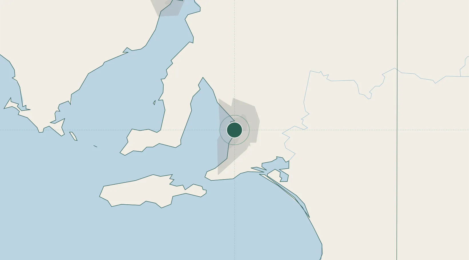
Nearby Logistics Neighbours

Cities
  1. 1Hindmarsh2 km
  2. 2Findon2 km
  3. 3Welland2 km
  4. 4Kidman Park4 km
  5. 5Beverley4 km
Nearest neighbours — logibook spatial index (haversine) over the source coordinates
Ports
  1. 1Port Adelaide9 km
  2. 2Klein Point72 km
  3. 3Port Giles73 km
  4. 4Ardrossan79 km
  5. 5Kingscote115 km
Nearest neighbours — logibook spatial index (haversine) over the source coordinates
Airports
  1. 1Adelaide International Airport4 km
  2. 2RAAF Base Edinburgh24 km
  3. 3Kingscote Airport129 km
  4. 4Port Pirie Airport193 km
  5. 5Renmark Airport210 km
Nearest neighbours — logibook spatial index (haversine) over the source coordinates
DatabookThe Record of Consolidated Knowledge
Australia beyond logistics?
Browse databook

All Sources

LocationsUN/LOCODE
UN/LOCODE — free
LocationsGeoNames
CC BY 4.0
Portsthe NGA World Port Index
Public domain (US gov)
AirportsOurAirports
Public domain
Trade Zonesthe World Bank SEZ database
CC BY 4.0
Trade ZonesOpen Zone Map
CC BY
← Australia locations