UN/LOCODE hub · Australia
AUALD

Aldgate

-35.0167°, 138.7333°
3,471
Population
2
Transport functions

Transport Functions

Port
Multimodal
UN/LOCODE

Hub Profile

Place type
Populated place
GeoNames
Region
South Australia
GeoNames
Population
3,471
GeoNames
Time zone
Australia/Adelaide
GeoNames
Elevation
446 m
GeoNames

Location

Location of AUALD
Natural Earth 10m (public domain) · South Australia · AUALD · -35.02, 138.73GoogleOSMYandex

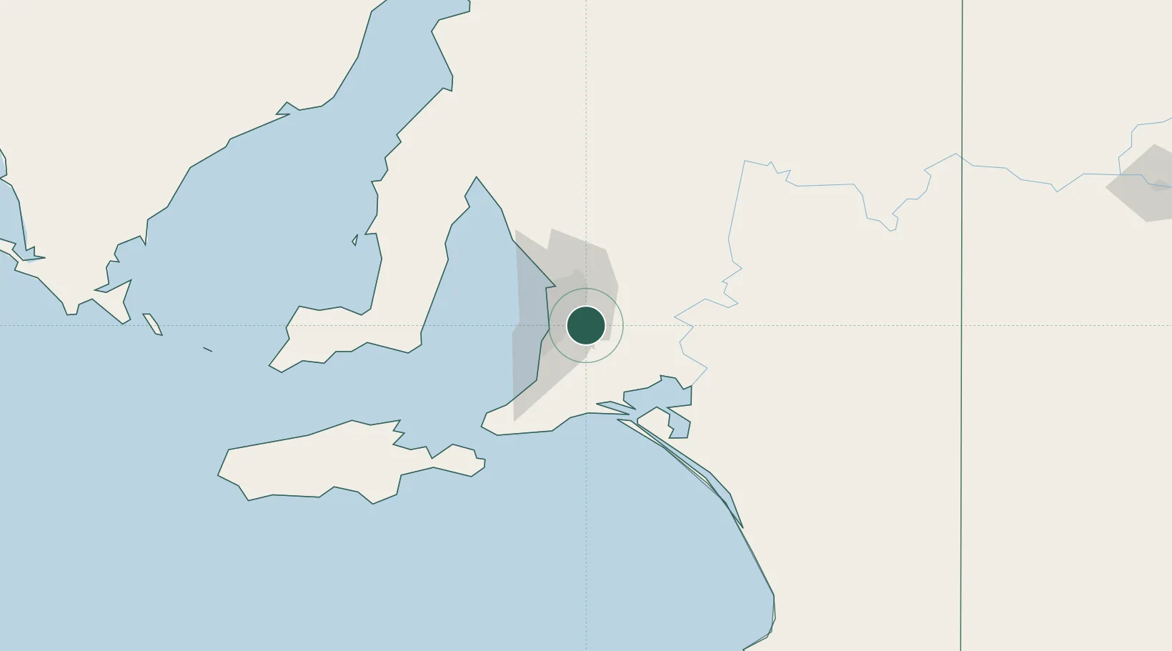
Nearby Logistics Neighbours

Cities
  1. 1Crafers4 km
  2. 2Verdun5 km
  3. 3Hahndorf6 km
  4. 4Ashton9 km
  5. 5Balhannah10 km
Nearest neighbours — logibook spatial index (haversine) over the source coordinates
Ports
  1. 1Port Adelaide28 km
  2. 2Port Giles88 km
  3. 3Klein Point88 km
  4. 4Ardrossan99 km
  5. 5Kingscote121 km
Nearest neighbours — logibook spatial index (haversine) over the source coordinates
Airports
  1. 1Adelaide International Airport20 km
  2. 2RAAF Base Edinburgh36 km
  3. 3Kingscote Airport135 km
  4. 4Renmark Airport200 km
  5. 5Port Pirie Airport209 km
Nearest neighbours — logibook spatial index (haversine) over the source coordinates
DatabookThe Record of Consolidated Knowledge
Australia beyond logistics?
Browse databook

All Sources

LocationsUN/LOCODE
UN/LOCODE — free
LocationsGeoNames
CC BY 4.0
Portsthe NGA World Port Index
Public domain (US gov)
AirportsOurAirports
Public domain
Trade Zonesthe World Bank SEZ database
CC BY 4.0
Trade ZonesOpen Zone Map
CC BY
← Australia locations