UN/LOCODE hub · Australia
AUDLH
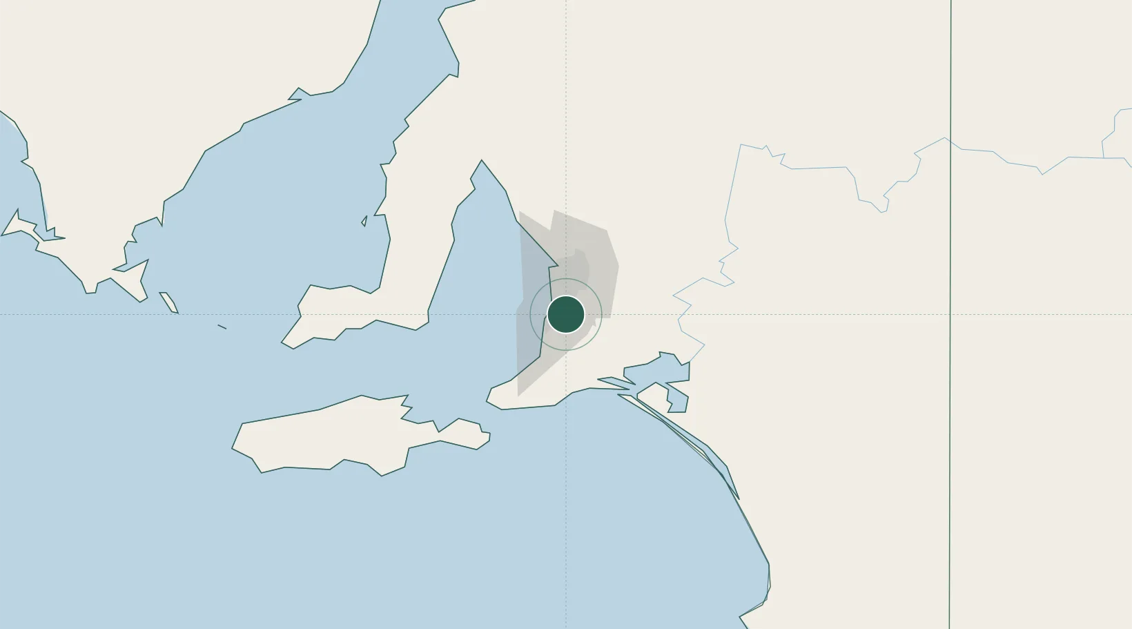
Chandlers Hill
-35.0833°, 138.6000°
690
Population
1
Transport functions
Transport Functions
Multimodal
Hub Profile
Place type
Urban district
Region
South Australia
Population
690
Time zone
Australia/Adelaide
Elevation
353 m
Location
Nearby Logistics Neighbours
Cities
- 1Coromandel Valley4 km
- 2Clarendon5 km
- 3Happy Valley6 km
- 4Oaklands Park6 km
- 5Bedford Park6 km
Ports
- 1Port Adelaide28 km
- 2Port Giles76 km
- 3Klein Point77 km
- 4Ardrossan96 km
- 5Kingscote107 km
Airports
- 1Adelaide International Airport16 km
- 2RAAF Base Edinburgh42 km
- 3Kingscote Airport120 km
- 4Port Pirie Airport213 km
- 5Renmark Airport214 km
DatabookThe Record of Consolidated Knowledge
Australia beyond logistics?