UN/LOCODE hub · Australia
AUSOM

Somerton

-37.6500°, 144.9167°
3
Transport functions

Transport Functions

Rail
Road
Multimodal
UN/LOCODE

Hub Profile

Place type
Urban district
GeoNames
Region
Victoria
GeoNames
Time zone
Australia/Melbourne
GeoNames
Elevation
160 m
GeoNames

Location

Location of AUSOM
Natural Earth 10m (public domain) · Victoria · AUSOM · -37.65, 144.92GoogleOSMYandex

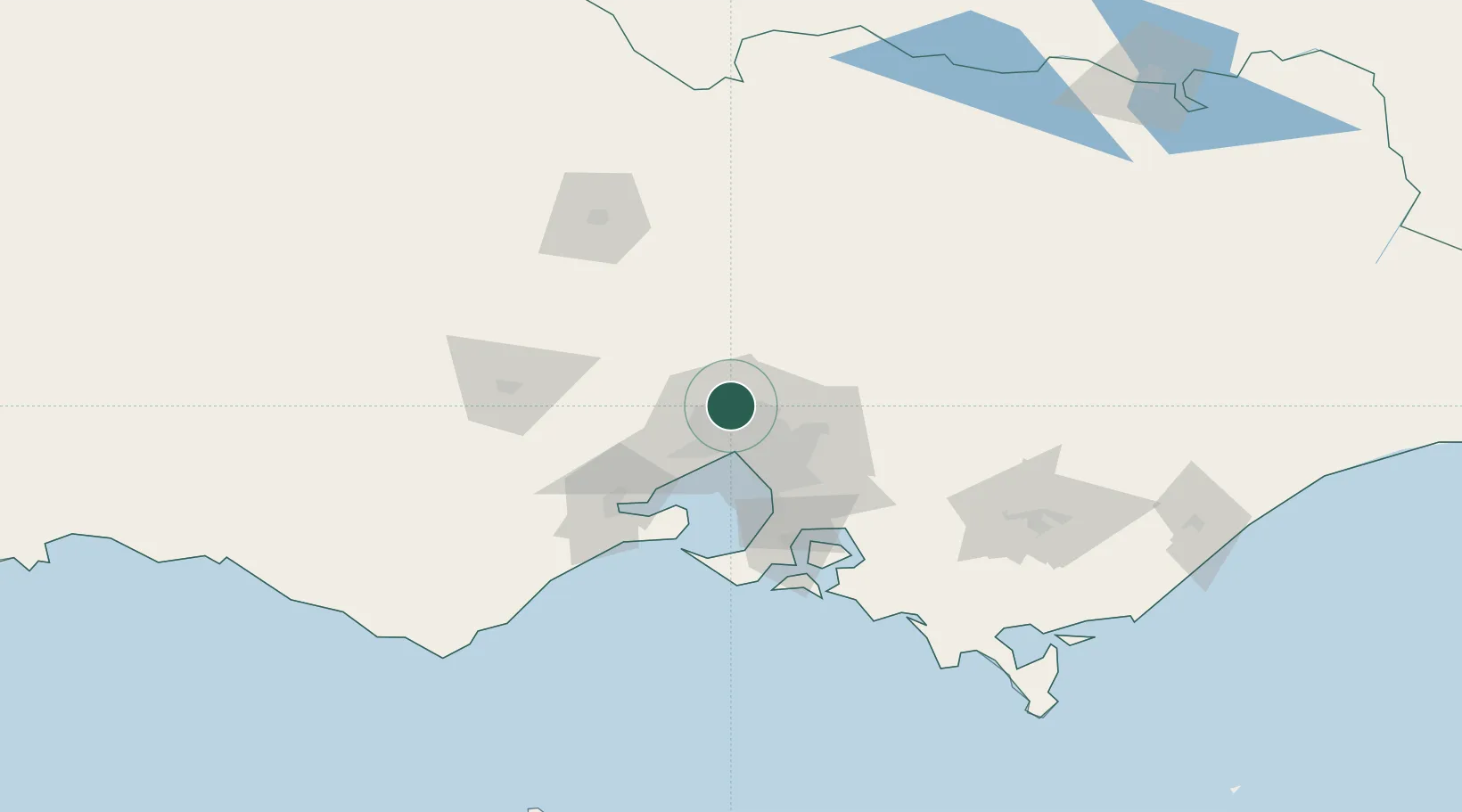
Nearby Logistics Neighbours

Cities
  1. 1Craigieburn6 km
  2. 2Pascoe Vale8 km
  3. 3Keilor Park10 km
  4. 4Reservoir10 km
  5. 5Keilor10 km
Nearest neighbours — logibook spatial index (haversine) over the source coordinates
Ports
  1. 1Melbourne21 km
  2. 2Geelong74 km
  3. 3Western Port83 km
  4. 4Welshpool179 km
  5. 5Warrnambool229 km
Nearest neighbours — logibook spatial index (haversine) over the source coordinates
Airports
  1. 1Melbourne Airport7 km
  2. 2Melbourne Essendon Airport9 km
  3. 3Melbourne Moorabbin Airport40 km
  4. 4Melbourne Avalon International Airport59 km
  5. 5Bendigo Airport114 km
Nearest neighbours — logibook spatial index (haversine) over the source coordinates
Trade Zones
  1. 1Latrobe Valley Economic Growth Zone145 km
  2. 2Paga Hill Estate Special Economic Zone3140 km
  3. 3Vanuatu Economic Development Zone3292 km
  4. 4Ihu Special Economic Zone3309 km
  5. 5Morobe Agricultural Special Economic Zone3448 km
Nearest neighbours — logibook spatial index (haversine) over the source coordinates
DatabookThe Record of Consolidated Knowledge
Australia beyond logistics?
Browse databook

All Sources

LocationsUN/LOCODE
UN/LOCODE — free
Portsthe NGA World Port Index
Public domain (US gov)
AirportsOurAirports
Public domain
Trade Zonesthe World Bank SEZ database
CC BY 4.0
Trade ZonesOpen Zone Map
CC BY
← Australia locations