UN/LOCODE hub · Australia
AUCVA
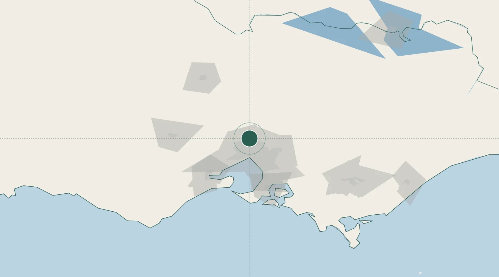
Craigieburn
-37.6000°, 144.9333°
65,178
Population
2
Transport functions
Transport Functions
Rail
Road
Hub Profile
Place type
Urban district
Region
Victoria
Population
65,178
Time zone
Australia/Melbourne
Elevation
186 m
Location
Nearby Logistics Neighbours
Cities
- 1Somerton6 km
- 2Donnybrook9 km
- 3Pascoe Vale13 km
- 4Bundoora14 km
- 5Reservoir14 km
Ports
- 1Melbourne26 km
- 2Geelong79 km
- 3Western Port87 km
- 4Welshpool182 km
- 5Warrnambool232 km
Airports
- 1Melbourne Airport12 km
- 2Melbourne Essendon Airport15 km
- 3Melbourne Moorabbin Airport45 km
- 4Melbourne Avalon International Airport64 km
- 5Bendigo Airport110 km
Trade Zones
DatabookThe Record of Consolidated Knowledge
Australia beyond logistics?