Transport Functions
Rail
Road
Hub Profile
Place type
Urban district
Region
Victoria
Population
51,096
Time zone
Australia/Melbourne
Elevation
89 m
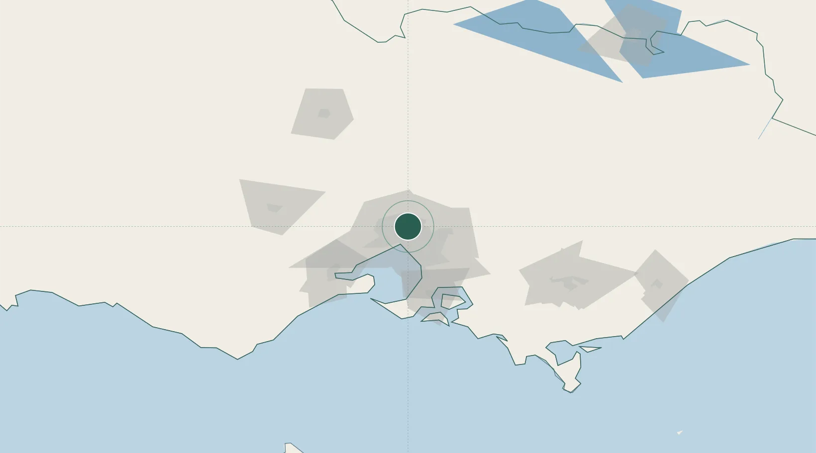
Location
Nearby Logistics Neighbours
Cities
- 1Preston2 km
- 2Coburg5 km
- 3Alphington6 km
- 4Bundoora6 km
- 5Pascoe Vale6 km
Ports
- 1Melbourne13 km
- 2Western Port73 km
- 3Geelong74 km
- 4Welshpool169 km
- 5Warrnambool233 km
Airports
Trade Zones
DatabookThe Record of Consolidated Knowledge
Australia beyond logistics?