Transport Functions
Rail
Road
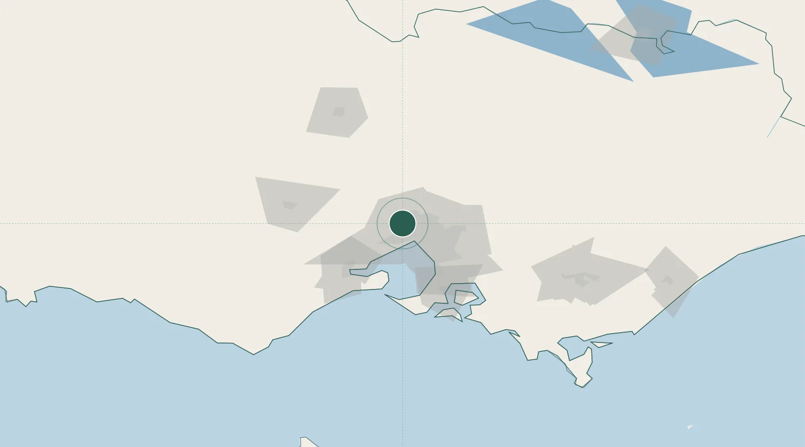
Hub Profile
Place type
Urban district
Region
Victoria
Population
5,730
Time zone
Australia/Melbourne
Elevation
38 m
Location
Nearby Logistics Neighbours
Cities
- 1Keilor Park2 km
- 2Melbourne2 km
- 3Maidstone8 km
- 4Maribyrnong9 km
- 5Pascoe Vale9 km
Ports
- 1Melbourne18 km
- 2Geelong63 km
- 3Western Port79 km
- 4Welshpool180 km
- 5Warrnambool219 km
Airports
Trade Zones
DatabookThe Record of Consolidated Knowledge
Australia beyond logistics?