UN/LOCODE hub · Australia
AUORK
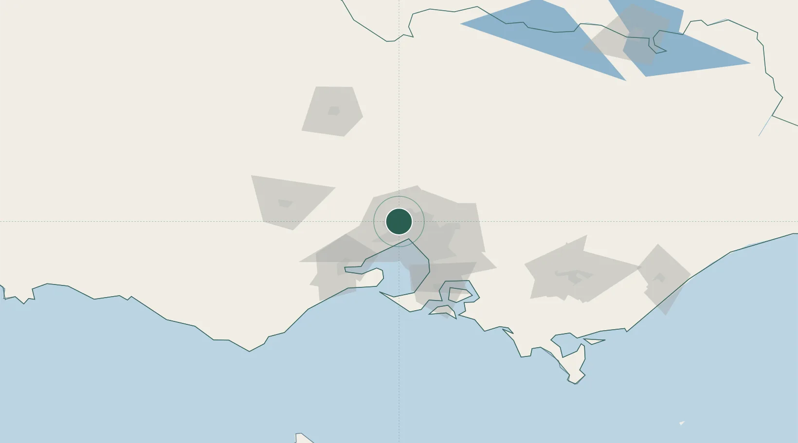
Keilor Park
-37.7167°, 144.8500°
2,659
Population
1
Transport functions
Transport Functions
Multimodal
Hub Profile
Place type
Urban district
Region
Victoria
Population
2,659
Time zone
Australia/Melbourne
Elevation
74 m
Location
Nearby Logistics Neighbours
Cities
- 1Keilor2 km
- 2Melbourne2 km
- 3Pascoe Vale7 km
- 4Maidstone7 km
- 5Maribyrnong8 km
Ports
- 1Melbourne17 km
- 2Geelong64 km
- 3Western Port78 km
- 4Welshpool179 km
- 5Warrnambool221 km
Airports
Trade Zones
DatabookThe Record of Consolidated Knowledge
Australia beyond logistics?