UN/LOCODE hub · Australia
AUPSV

Pascoe Vale

-37.7167°, 144.9333°
18,171
Population
1
Transport functions

Transport Functions

Multimodal
UN/LOCODE

Hub Profile

Place type
Urban district
GeoNames
Region
Victoria
GeoNames
Population
18,171
GeoNames
Time zone
Australia/Melbourne
GeoNames
Elevation
74 m
GeoNames

Location

Location of AUPSV
Natural Earth 10m (public domain) · Victoria · AUPSV · -37.72, 144.93GoogleOSMYandex

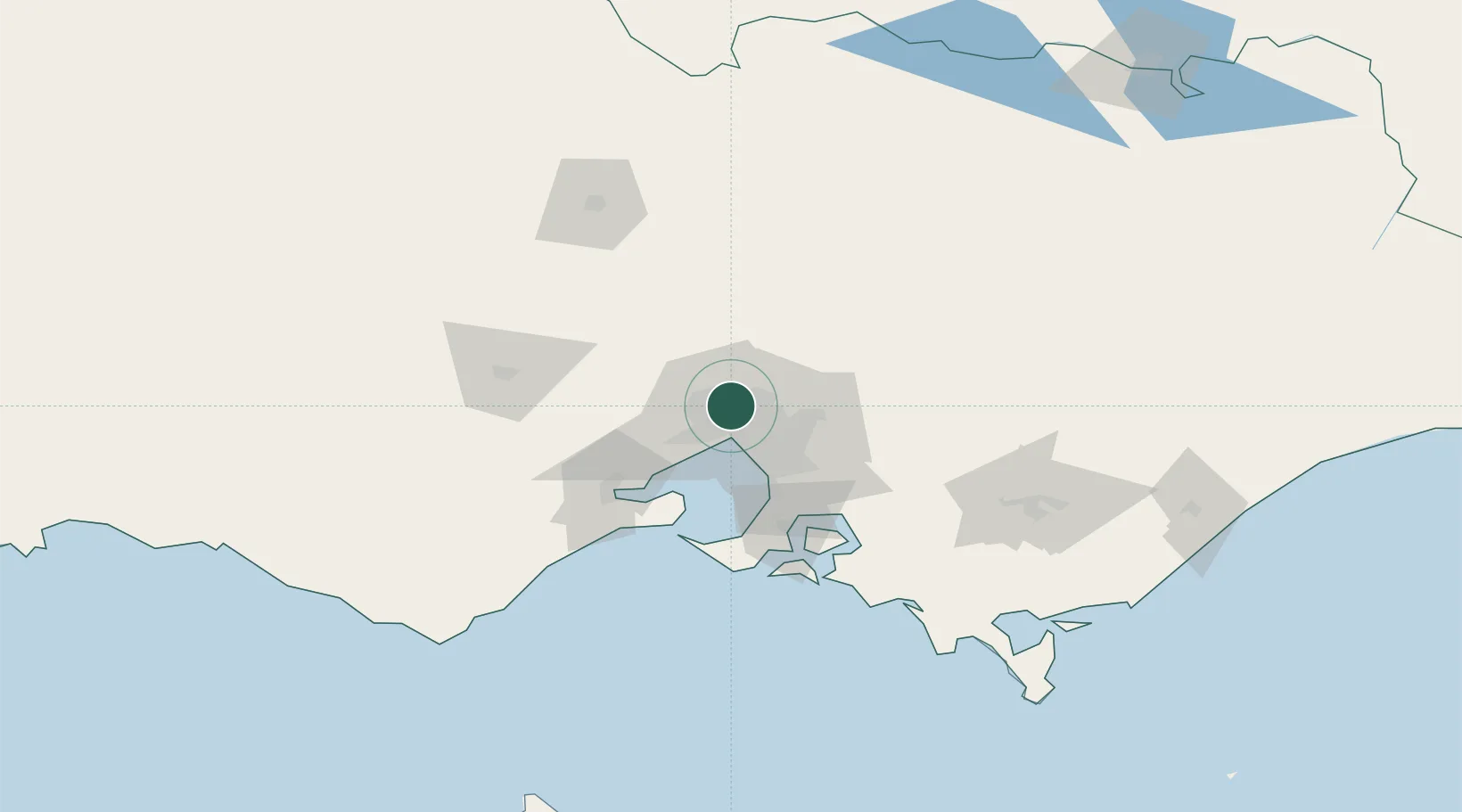
Nearby Logistics Neighbours

Cities
  1. 1Coburg5 km
  2. 2Brunswich6 km
  3. 3Reservoir6 km
  4. 4Preston6 km
  5. 5Keilor Park7 km
Nearest neighbours — logibook spatial index (haversine) over the source coordinates
Ports
  1. 1Melbourne13 km
  2. 2Geelong69 km
  3. 3Western Port75 km
  4. 4Welshpool173 km
  5. 5Warrnambool228 km
Nearest neighbours — logibook spatial index (haversine) over the source coordinates
Airports
  1. 1Melbourne Essendon Airport3 km
  2. 2Melbourne Airport10 km
  3. 3Melbourne Moorabbin Airport33 km
  4. 4Melbourne Avalon International Airport55 km
  5. 5Bendigo Airport121 km
Nearest neighbours — logibook spatial index (haversine) over the source coordinates
Trade Zones
  1. 1Latrobe Valley Economic Growth Zone140 km
  2. 2Paga Hill Estate Special Economic Zone3147 km
  3. 3Vanuatu Economic Development Zone3296 km
  4. 4Ihu Special Economic Zone3316 km
  5. 5Morobe Agricultural Special Economic Zone3455 km
Nearest neighbours — logibook spatial index (haversine) over the source coordinates
DatabookThe Record of Consolidated Knowledge
Australia beyond logistics?
Browse databook

All Sources

LocationsUN/LOCODE
UN/LOCODE — free
LocationsGeoNames
CC BY 4.0
Portsthe NGA World Port Index
Public domain (US gov)
AirportsOurAirports
Public domain
Trade Zonesthe World Bank SEZ database
CC BY 4.0
Trade ZonesOpen Zone Map
CC BY
← Australia locations