Transport Functions
Rail
Road
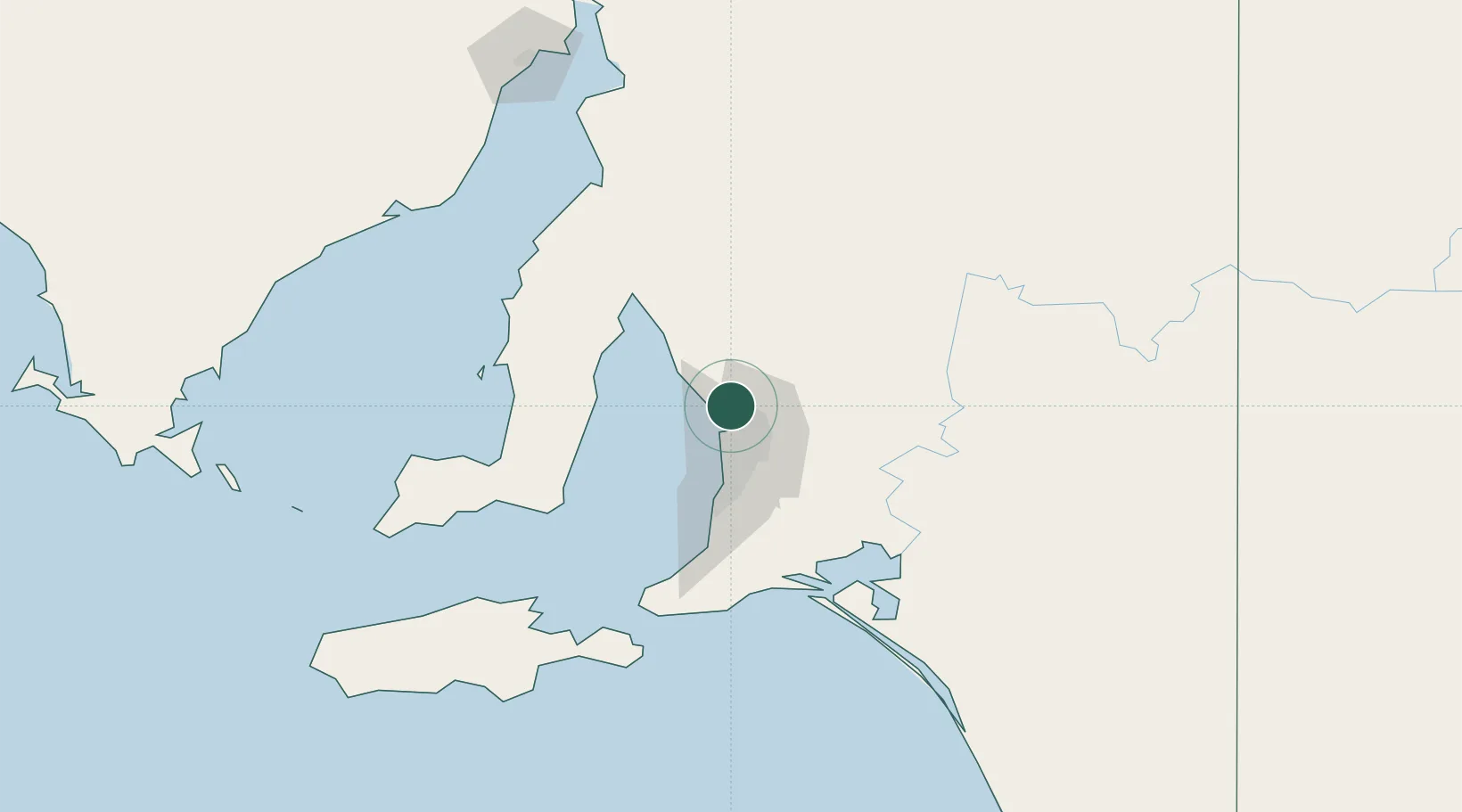
Hub Profile
Place type
Urban district
Region
South Australia
Population
1,802
Time zone
Australia/Adelaide
Elevation
20 m
Location
Nearby Logistics Neighbours
Cities
- 1Twowells9 km
- 2Elizabeth11 km
- 3Outer Harbour12 km
- 4Outer Harbor12 km
- 5Green Fields14 km
Ports
- 1Port Adelaide21 km
- 2Ardrossan64 km
- 3Klein Point79 km
- 4Port Giles82 km
- 5Wallaroo118 km
Airports
- 1RAAF Base Edinburgh7 km
- 2Adelaide International Airport31 km
- 3Kingscote Airport149 km
- 4Port Pirie Airport167 km
- 5Renmark Airport202 km
DatabookThe Record of Consolidated Knowledge
Australia beyond logistics?