UN/LOCODE hub · Australia
AUSHS

Surrey Hills

-37.8167°, 145.1000°
13,655
Population
1
Transport functions

Transport Functions

Multimodal
UN/LOCODE

Hub Profile

Place type
Urban district
GeoNames
Region
Victoria
GeoNames
Population
13,655
GeoNames
Time zone
Australia/Melbourne
GeoNames
Elevation
108 m
GeoNames

Location

Location of AUSHS
Natural Earth 10m (public domain) · Victoria · AUSHS · -37.82, 145.10GoogleOSMYandex

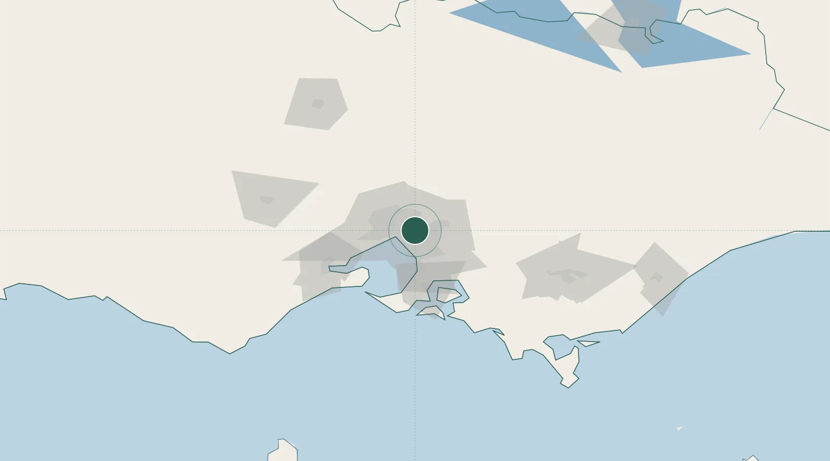
Nearby Logistics Neighbours

Cities
  1. 1North Balwyn2 km
  2. 2Camberwell4 km
  3. 3Balwyn4 km
  4. 4Doncaster5 km
  5. 5Tooronga6 km
Nearest neighbours — logibook spatial index (haversine) over the source coordinates
Ports
  1. 1Melbourne12 km
  2. 2Western Port60 km
  3. 3Geelong74 km
  4. 4Welshpool155 km
  5. 5Warrnambool238 km
Nearest neighbours — logibook spatial index (haversine) over the source coordinates
Airports
  1. 1Melbourne Moorabbin Airport18 km
  2. 2Melbourne Essendon Airport20 km
  3. 3Melbourne Airport28 km
  4. 4Melbourne Avalon International Airport61 km
  5. 5Latrobe Valley Airport128 km
Nearest neighbours — logibook spatial index (haversine) over the source coordinates
Trade Zones
  1. 1Latrobe Valley Economic Growth Zone122 km
  2. 2Paga Hill Estate Special Economic Zone3157 km
  3. 3Vanuatu Economic Development Zone3293 km
  4. 4Ihu Special Economic Zone3327 km
  5. 5Morobe Agricultural Special Economic Zone3466 km
Nearest neighbours — logibook spatial index (haversine) over the source coordinates
DatabookThe Record of Consolidated Knowledge
Australia beyond logistics?
Browse databook

All Sources

LocationsUN/LOCODE
UN/LOCODE — free
LocationsGeoNames
CC BY 4.0
Portsthe NGA World Port Index
Public domain (US gov)
AirportsOurAirports
Public domain
Trade Zonesthe World Bank SEZ database
CC BY 4.0
Trade ZonesOpen Zone Map
CC BY
← Australia locations