UN/LOCODE hub · Australia
AUCAM
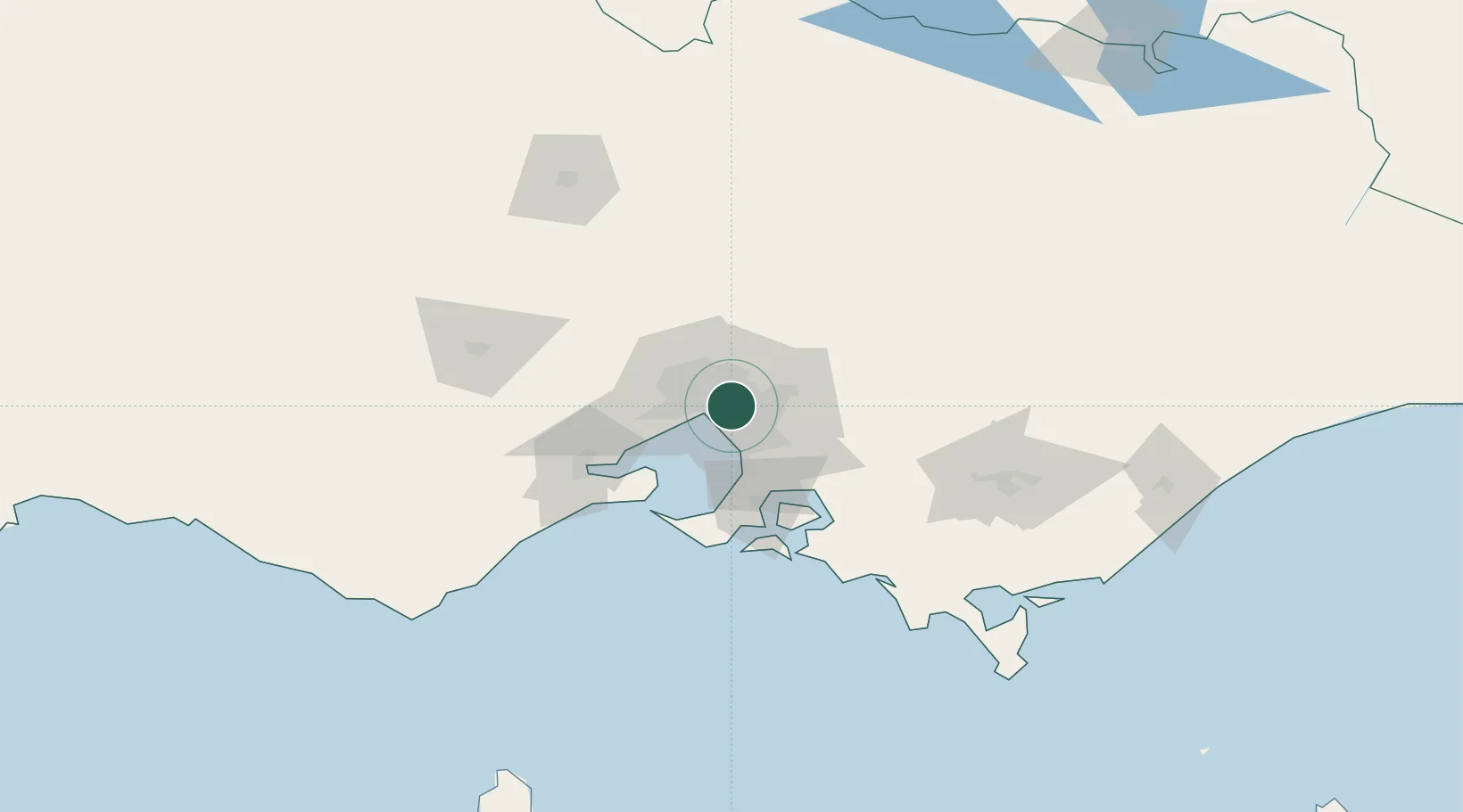
Camberwell
-37.8333°, 145.0667°
21,965
Population
2
Transport functions
Transport Functions
Rail
Road
Hub Profile
Place type
Urban district
Region
Victoria
Population
21,965
Time zone
Australia/Melbourne
Elevation
47 m
Location
Nearby Logistics Neighbours
Cities
- 1Surrey Hills4 km
- 2Balwyn4 km
- 3North Balwyn4 km
- 4Malvern5 km
- 5Chadstone/Melbourne6 km
Ports
- 1Melbourne9 km
- 2Western Port59 km
- 3Geelong71 km
- 4Welshpool156 km
- 5Warrnambool235 km
Airports
Trade Zones
DatabookThe Record of Consolidated Knowledge
Australia beyond logistics?