UN/LOCODE hub · Australia
AUO8O
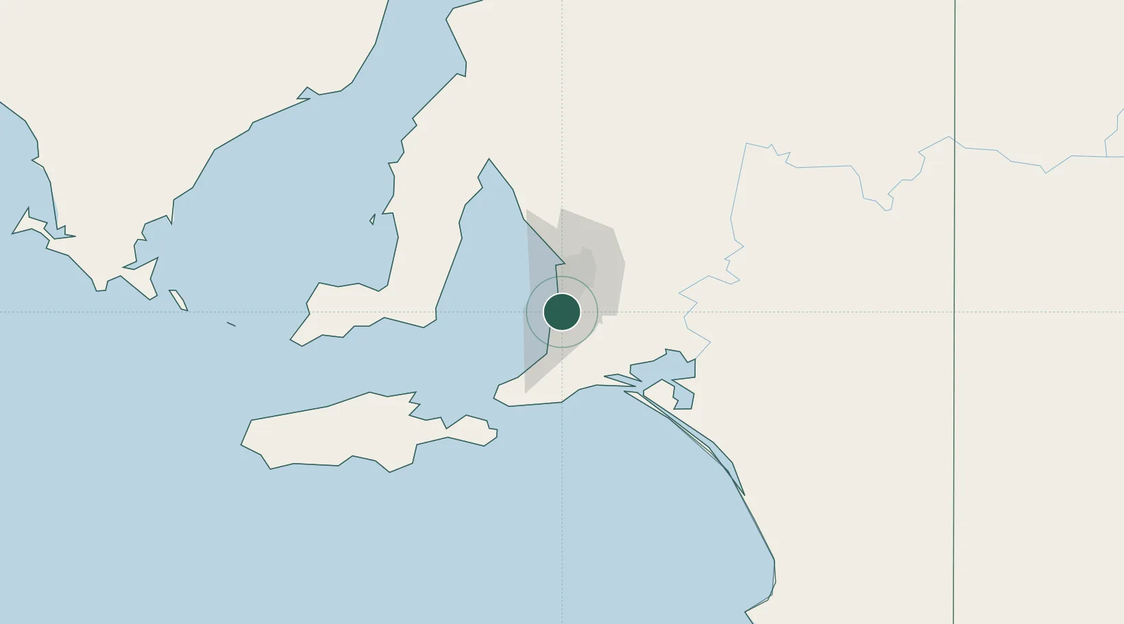
Oaklands Park
-35.0833°, 138.5333°
3,795
Population
1
Transport functions
Transport Functions
Multimodal
Hub Profile
Place type
Urban district
Region
South Australia
Population
3,795
Time zone
Australia/Adelaide
Elevation
25 m
Location
Nearby Logistics Neighbours
Cities
- 1Happy Valley0 km
- 2Halletts Cove4 km
- 3Lonsdale5 km
- 4Chandlers Hill6 km
- 5Bedford Park6 km
Ports
- 1Port Adelaide26 km
- 2Port Giles70 km
- 3Klein Point71 km
- 4Ardrossan92 km
- 5Kingscote102 km
Airports
- 1Adelaide International Airport15 km
- 2RAAF Base Edinburgh43 km
- 3Kingscote Airport116 km
- 4Port Pirie Airport211 km
- 5Renmark Airport219 km
DatabookThe Record of Consolidated Knowledge
Australia beyond logistics?