Channel & Berth Profile
Pilotage, Tugs & Services
Pilotage compulsoryYES
Pilotage availableYES
Pilotage advisableNO
Tug assistanceYES
Shore powerYES
Potable waterYES
Diesel bunkersYES
MedicalYES
Garbage disposalYES
Facilities & Capabilities
Container—
Ro-Ro—
Liquid bulk—
Dry bulk—
Oil terminal—
Break bulk—
Dry dock—
RepairsNO
BunkeringYES
Rail link—
Dangerous cargo—
ISPS security—
Harbour Specifications
Harbour size
Small
Harbour type
Coastal (Natural)
Shelter
Fair
Water body
Great Australian Bight; Indian Ocean
Tidal range
1 m
Overhead limit
Yes
Pilotage
Yes
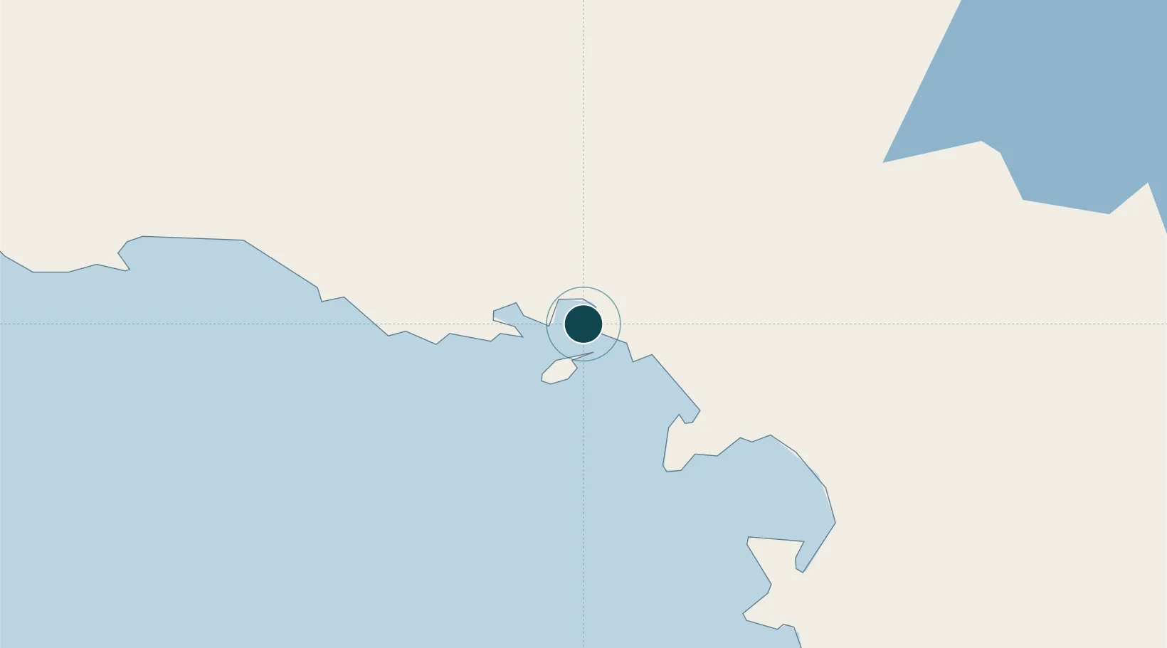
Location
Nearby Logistics Neighbours
Ports
- 1Port Lincoln349 km
- 2Whyalla381 km
- 3Port Bonython397 km
- 4Wallaroo419 km
- 5Port Pirie424 km
Cities
- 1Port Kenny147 km
- 2Lucky Bay348 km
- 3Andrews492 km
- 4Clare497 km
- 5Twowells525 km
Airports
- 1Ceduna Airport7 km
- 2Cleve Airport317 km
- 3Prominent Hill Airport326 km
- 4Port Lincoln Airport341 km
- 5Olympic Dam Airport359 km
DatabookThe Record of Consolidated Knowledge
Australia beyond logistics?