Medium airport · Australia
Ceduna AirportYCDU
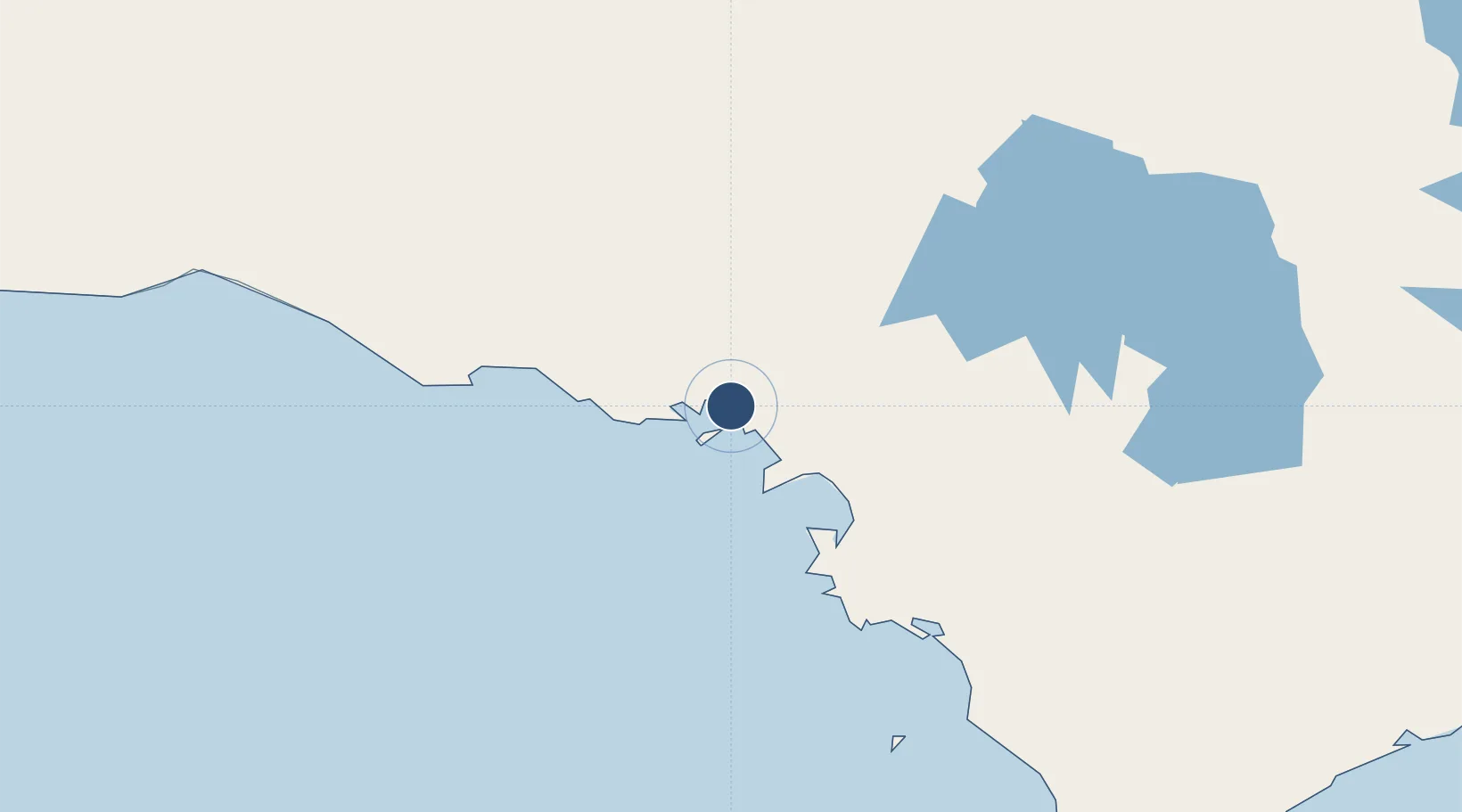
-32.1306°, 133.7100°
5,709 ft
Longest runway
2
Runways
77 ft
Elevation
Runway & Layout

Radio Frequencies
CTAF
126.7 MHz
FSS
122.1 MHz
MELBOURNE CNTR
Navaids
CDU NDB Ceduna 293 kHz
Runways · 2
| Runway | Dimensions | Surface | True heading | Lit |
|---|---|---|---|---|
| 11/29 | 5,709 × 98ft | Asphalt | 111° | ✓ |
| 17/35 | 3,327 × 98ft | Gravel | 173° | ✓ |
Airport Specifications
IATA code
CED
ICAO code
YCDU
Airport class
Medium airport
Scheduled service
Yes
Runway surface
Asphalt
Location
Nearby Logistics Neighbours
Airports
- 1Cleve Airport315 km
- 2Prominent Hill Airport319 km
- 3Port Lincoln Airport341 km
- 4Olympic Dam Airport352 km
- 5Coober Pedy Airport357 km
Cities
- 1Port Kenny147 km
- 2Lucky Bay346 km
- 3Andrews488 km
- 4Clare494 km
- 5Twowells523 km
Ports
- 1Thevenard7 km
- 2Port Lincoln350 km
- 3Whyalla377 km
- 4Port Bonython393 km
- 5Wallaroo416 km
DatabookThe Record of Consolidated Knowledge
Australia beyond logistics?