UN/LOCODE hub · Australia
AUMGO

Mittagong

-34.4500°, 150.4333°
5,725
Population
2
Transport functions

Transport Functions

Rail
Road
UN/LOCODE

Hub Profile

Place type
Populated place
GeoNames
Region
New South Wales
GeoNames
Population
5,725
GeoNames
Time zone
Australia/Sydney
GeoNames
Elevation
635 m
GeoNames

Location

Location of AUMGO
Natural Earth 10m (public domain) · New South Wales · AUMGO · -34.45, 150.43GoogleOSMYandex

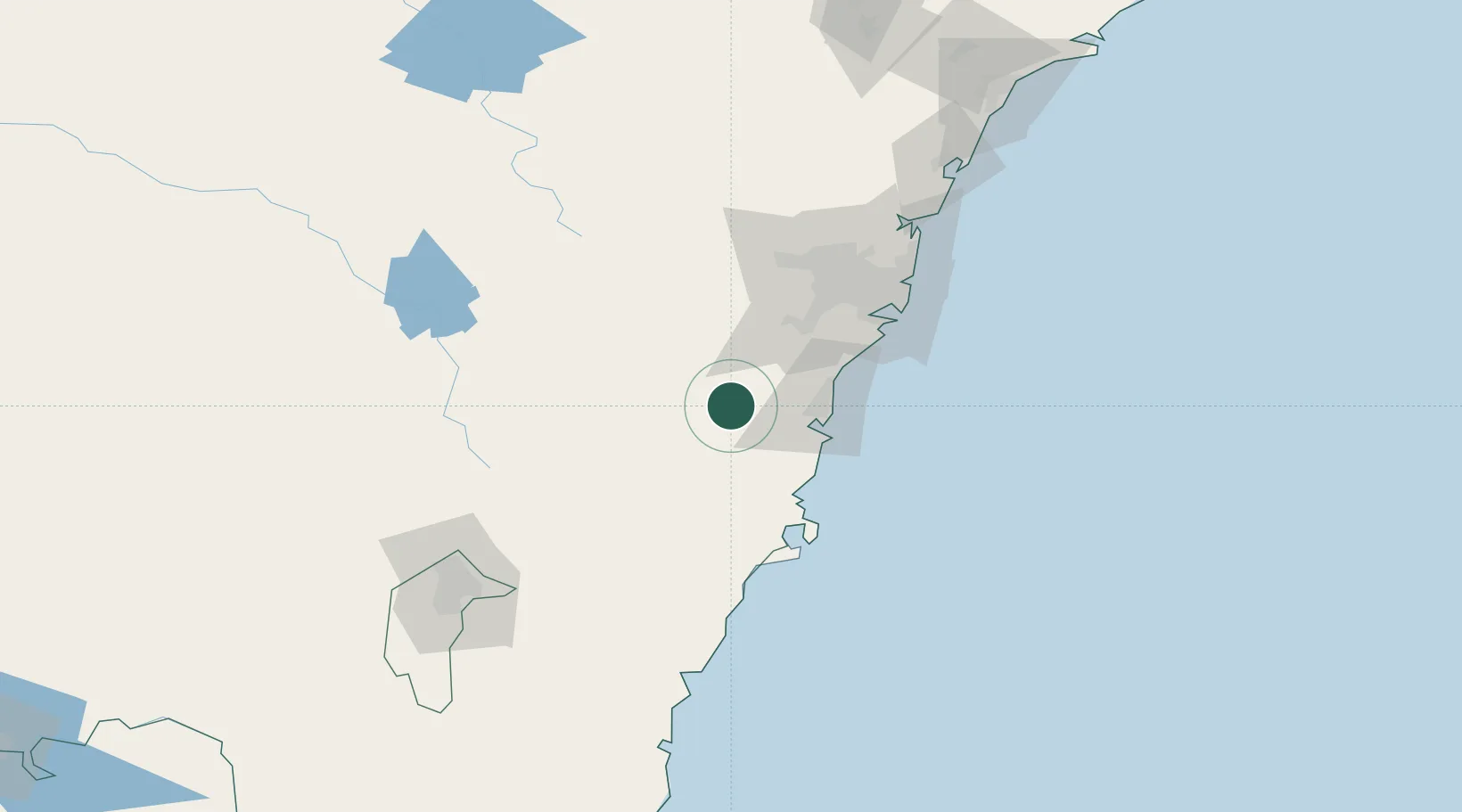
Nearby Logistics Neighbours

Cities
  1. 1Bowral2 km
  2. 2Moss Vale13 km
  3. 3Dapto33 km
  4. 4Picton33 km
  5. 5Kembla35 km
Nearest neighbours — logibook spatial index (haversine) over the source coordinates
Ports
  1. 1Port Kembla45 km
  2. 2Jervis Bay81 km
  3. 3Botany Bay89 km
  4. 4Sydney96 km
  5. 5Batemans Bay141 km
Nearest neighbours — logibook spatial index (haversine) over the source coordinates
Airports
  1. 1Shellharbour Airport35 km
  2. 2Camden Airport51 km
  3. 3Naval Air Station Nowra - HMAS Albatross56 km
  4. 4Goulburn Airport76 km
  5. 5Sydney Bankstown Airport78 km
Nearest neighbours — logibook spatial index (haversine) over the source coordinates
Trade Zones
  1. 1Latrobe Valley Economic Growth Zone555 km
  2. 2Hicks Bay Area Special Economic Zone2507 km
  3. 3Vanuatu Economic Development Zone2690 km
  4. 4Paga Hill Estate Special Economic Zone2796 km
  5. 5Tulagi Island Special Economic Zone2987 km
Nearest neighbours — logibook spatial index (haversine) over the source coordinates
DatabookThe Record of Consolidated Knowledge
Australia beyond logistics?
Browse databook

All Sources

LocationsUN/LOCODE
UN/LOCODE — free
LocationsGeoNames
CC BY 4.0
Portsthe NGA World Port Index
Public domain (US gov)
AirportsOurAirports
Public domain
Trade Zonesthe World Bank SEZ database
CC BY 4.0
Trade ZonesOpen Zone Map
CC BY
← Australia locations