UN/LOCODE hub · Australia
AUBDF
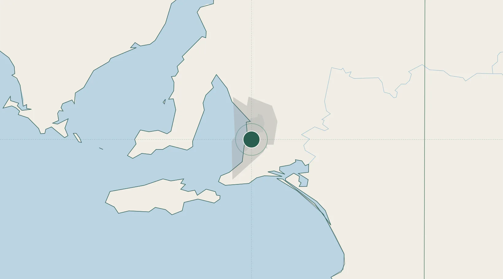
Bedford Park
-35.0333°, 138.5667°
2,689
Population
2
Transport functions
Transport Functions
Road
Multimodal
Hub Profile
Place type
Populated place
Region
South Australia
Population
2,689
Time zone
Australia/Adelaide
Elevation
70 m
Location
Nearby Logistics Neighbours
Cities
- 1Blackwood4 km
- 2Coromandel Valley5 km
- 3Chandlers Hill6 km
- 4Happy Valley6 km
- 5Oaklands Park6 km
Ports
- 1Port Adelaide21 km
- 2Port Giles73 km
- 3Klein Point73 km
- 4Ardrossan89 km
- 5Kingscote108 km
Airports
- 1Adelaide International Airport10 km
- 2RAAF Base Edinburgh37 km
- 3Kingscote Airport121 km
- 4Port Pirie Airport206 km
- 5Renmark Airport214 km
DatabookThe Record of Consolidated Knowledge
Australia beyond logistics?