UN/LOCODE hub · Australia
AUHTT

Halletts Cove

-35.0667°, 138.5000°
2
Transport functions

Transport Functions

Port
Multimodal
UN/LOCODE

Hub Profile

Place type
Populated place
GeoNames
Region
South Australia
GeoNames
Time zone
Australia/Adelaide
GeoNames
Elevation
40 m
GeoNames

Location

Location of AUHTT
Natural Earth 10m (public domain) · South Australia · AUHTT · -35.07, 138.50GoogleOSMYandex

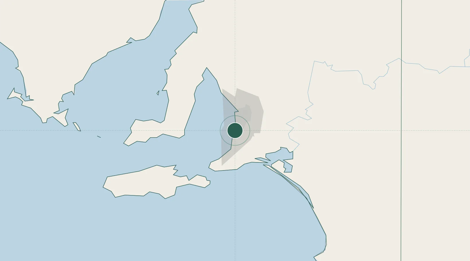
Nearby Logistics Neighbours

Cities
  1. 1Happy Valley4 km
  2. 2Oaklands Park4 km
  3. 3Lonsdale4 km
  4. 4Bedford Park7 km
  5. 5Chandlers Hill9 km
Nearest neighbours — logibook spatial index (haversine) over the source coordinates
Ports
  1. 1Port Adelaide24 km
  2. 2Port Giles67 km
  3. 3Klein Point68 km
  4. 4Ardrossan88 km
  5. 5Kingscote101 km
Nearest neighbours — logibook spatial index (haversine) over the source coordinates
Airports
  1. 1Adelaide International Airport14 km
  2. 2RAAF Base Edinburgh42 km
  3. 3Kingscote Airport114 km
  4. 4Port Pirie Airport209 km
  5. 5Renmark Airport221 km
Nearest neighbours — logibook spatial index (haversine) over the source coordinates
DatabookThe Record of Consolidated Knowledge
Australia beyond logistics?
Browse databook

All Sources

LocationsUN/LOCODE
UN/LOCODE — free
Portsthe NGA World Port Index
Public domain (US gov)
AirportsOurAirports
Public domain
Trade Zonesthe World Bank SEZ database
CC BY 4.0
Trade ZonesOpen Zone Map
CC BY
← Australia locations