Transport Functions
Multimodal
Hub Profile
Place type
Populated place
Region
Victoria
Population
446
Time zone
Australia/Melbourne
Elevation
177 m
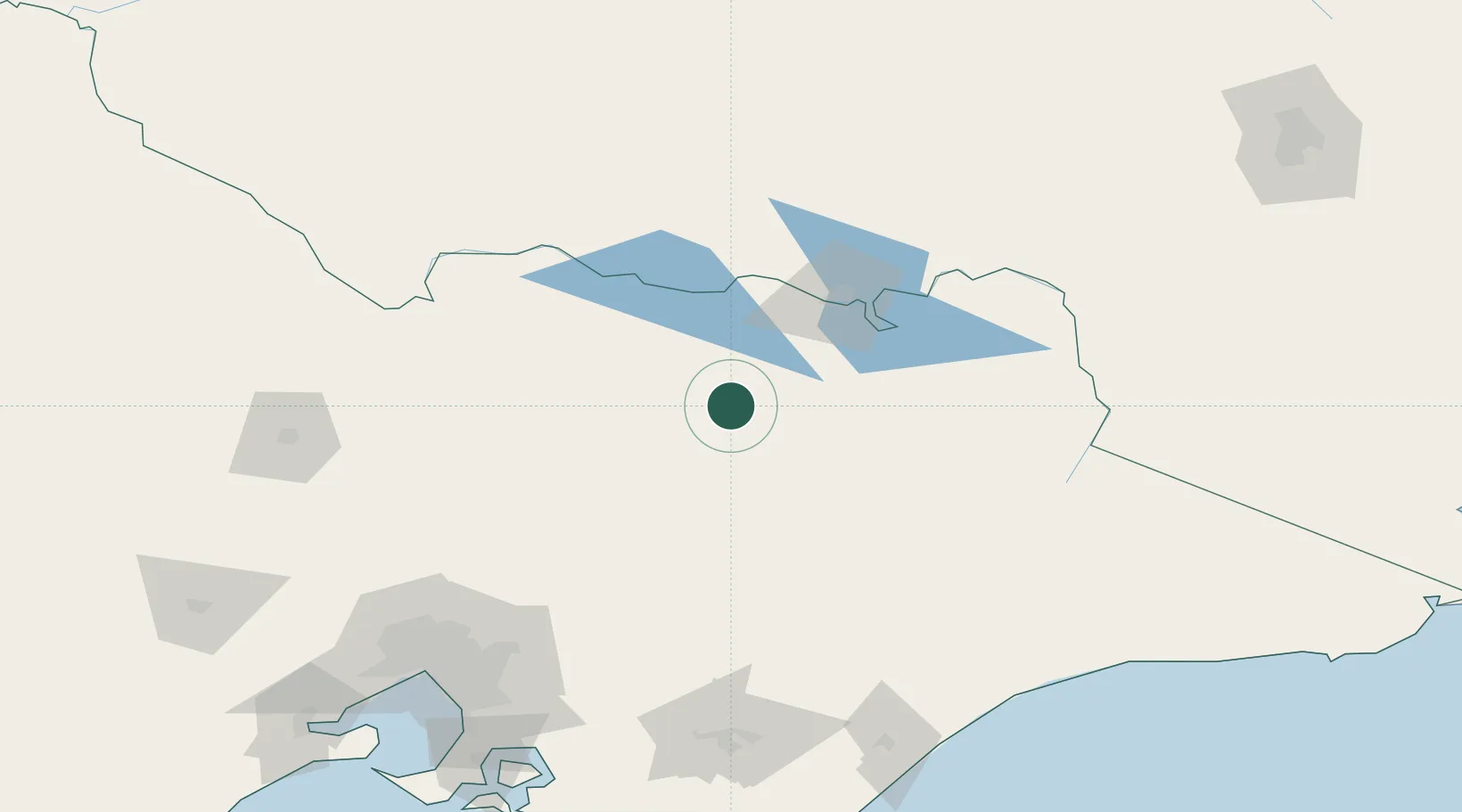
Location
Nearby Logistics Neighbours
Cities
- 1Edi6 km
- 2Carboor14 km
- 3Gapstead27 km
- 4Beechworth38 km
- 5Barnawartha61 km
Ports
- 1Melbourne187 km
- 2Western Port220 km
- 3Welshpool234 km
- 4Geelong249 km
- 5Eden317 km
Airports
- 1Wangaratta Airport22 km
- 2Benalla Airport36 km
- 3Corowa Airport67 km
- 4Albury Airport78 km
- 5Shepparton Airport92 km
Trade Zones
DatabookThe Record of Consolidated Knowledge
Australia beyond logistics?