Transport Functions
Rail
Road
Hub Profile
Place type
Populated place
Region
Victoria
Population
167
Time zone
Australia/Melbourne
Elevation
288 m
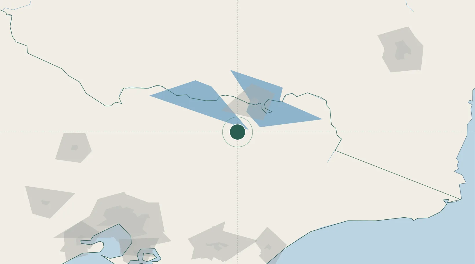
Location
Nearby Logistics Neighbours
Cities
- 1Beechworth17 km
- 2Carboor18 km
- 3Edi27 km
- 4Moyhu27 km
- 5Barnawartha46 km
Ports
- 1Melbourne211 km
- 2Western Port241 km
- 3Welshpool244 km
- 4Geelong274 km
- 5Eden294 km
Airports
- 1Wangaratta Airport35 km
- 2Albury Airport56 km
- 3Benalla Airport61 km
- 4Corowa Airport65 km
- 5Mount Hotham Airport83 km
Trade Zones
DatabookThe Record of Consolidated Knowledge
Australia beyond logistics?