Transport Functions
Port
Multimodal
Hub Profile
Place type
Populated place
Region
Victoria
Population
96
Time zone
Australia/Melbourne
Elevation
251 m
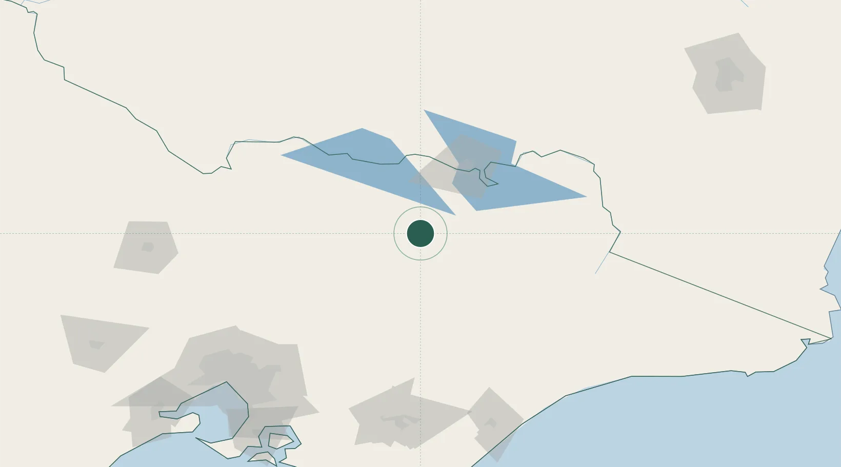
Location
Nearby Logistics Neighbours
Cities
- 1Edi11 km
- 2Moyhu14 km
- 3Gapstead18 km
- 4Beechworth33 km
- 5Barnawartha60 km
Ports
- 1Melbourne194 km
- 2Western Port223 km
- 3Welshpool230 km
- 4Geelong256 km
- 5Eden303 km
Airports
- 1Wangaratta Airport32 km
- 2Benalla Airport49 km
- 3Albury Airport73 km
- 4Corowa Airport73 km
- 5Mount Hotham Airport84 km
Trade Zones
DatabookThe Record of Consolidated Knowledge
Australia beyond logistics?