Transport Functions
Multimodal
Hub Profile
Place type
Populated place
Region
Victoria
Population
69
Time zone
Australia/Melbourne
Elevation
421 m
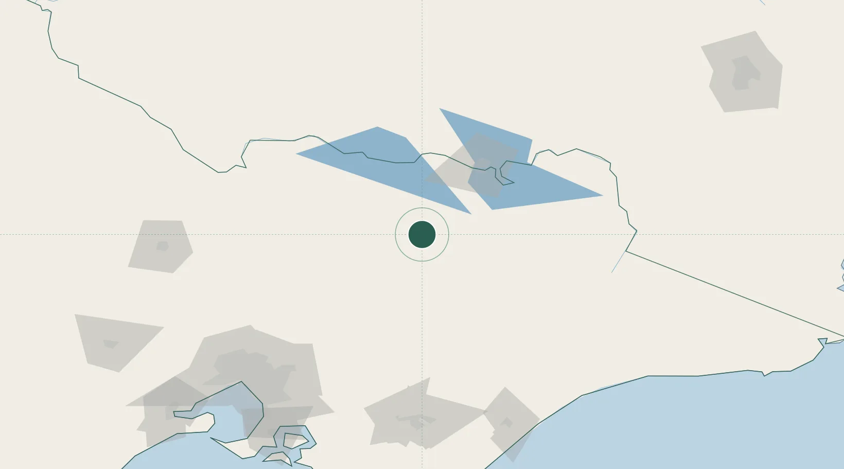
Location
Nearby Logistics Neighbours
Cities
- 1Moyhu6 km
- 2Carboor11 km
- 3Gapstead27 km
- 4Beechworth40 km
- 5Dry Creek62 km
Ports
- 1Melbourne185 km
- 2Western Port217 km
- 3Welshpool228 km
- 4Geelong247 km
- 5Eden313 km
Airports
- 1Wangaratta Airport28 km
- 2Benalla Airport40 km
- 3Corowa Airport73 km
- 4Albury Airport80 km
- 5Mount Hotham Airport92 km
Trade Zones
DatabookThe Record of Consolidated Knowledge
Australia beyond logistics?