Medium airport · Australia
Benalla AirportYBLA
-36.5519°, 146.0070°
3,422 ft
Longest runway
4
Runways
569 ft
Elevation
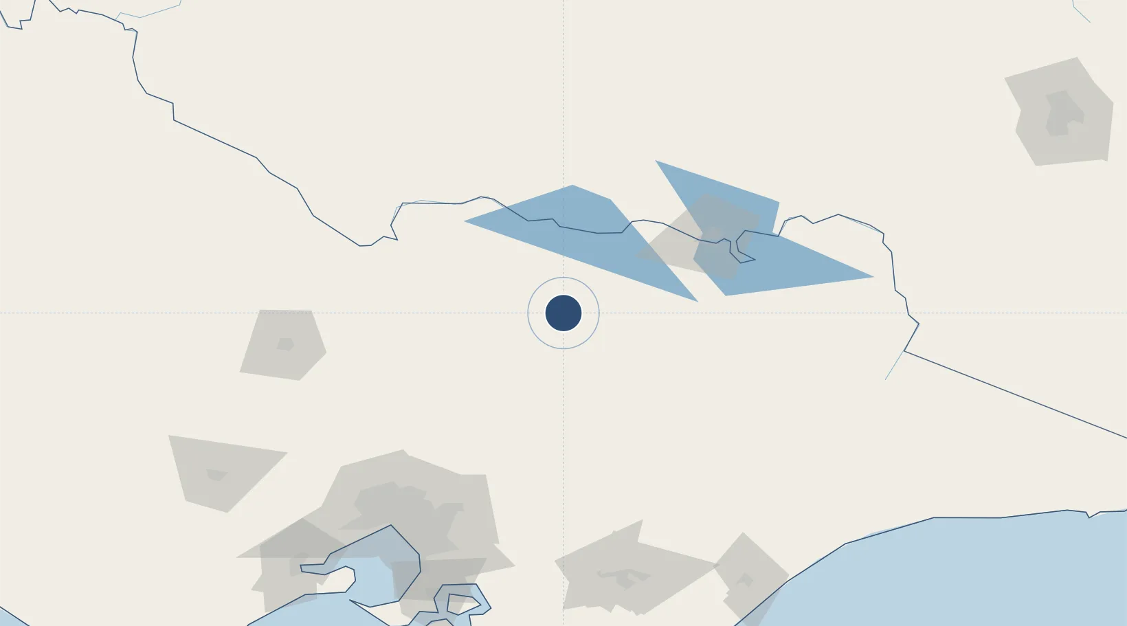
Runway & Layout

Radio Frequencies
CTAF
125.6 MHz
New CTAF as of 2017.
FSS
125.2 MHz
MELBOURNE CNTR
PAL
123.4 MHz
Pilot Activated Lighting
Runways · 4
| Runway | Dimensions | Surface | True heading | Lit |
|---|---|---|---|---|
| 08L/26R | 3,422 × 60ft | Grass | 060° | — |
| 08R/26L | 3,422 × 60ft | Permanent | 094° | ✓ |
| 17L/35R | 2,356 × 60ft | Grass | 060° | — |
| 17R/35L | 2,356 × 98ft | Grass | 175° | — |
Airport Specifications
IATA code
BLN
ICAO code
YBLA
Airport class
Medium airport
Scheduled service
No
Runway surface
Grass
Served city
Benalla
Location
Nearby Logistics Neighbours
Airports
- 1Wangaratta Airport31 km
- 2Shepparton Airport57 km
- 3Corowa Airport69 km
- 4Albury Airport101 km
- 5Echuca Airport120 km
Ports
- 1Melbourne170 km
- 2Western Port211 km
- 3Geelong229 km
- 4Welshpool242 km
- 5Eden353 km
Trade Zones
DatabookThe Record of Consolidated Knowledge
Australia beyond logistics?