Medium airport · Australia

Shepparton AirportYSHT

-36.4283°, 145.3915°
4,521 ft
Longest runway
2
Runways
374 ft
Elevation

Runway & Layout

Shepparton Airport runway & taxiway layout
Runway & taxiway layout — OpenStreetMap (ODbL) / OurAirports

Radio Frequencies

FSS
122.4 MHz
MELBOURNE CNTR
UNIC
118.8 MHz
CTAF/UNICOM
OurAirports

Navaids

SHT NDB Shepparton 212 kHz
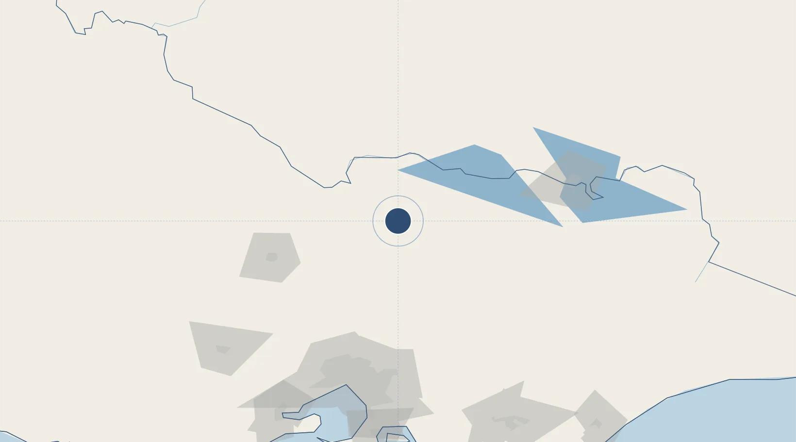
OurAirports

Runways · 2

RunwayDimensions SurfaceTrue headingLit
18/36 4,521 × 60ft Asphalt 191°
09/27 1,388 × 98ft Gravel 098°
OurAirports

Airport Specifications

IATA code
SHT
OurAirports
ICAO code
YSHT
OurAirports
Airport class
Medium airport
OurAirports
Scheduled service
No
OurAirports
Runway surface
Asphalt
OurAirports

Location

Location of YSHT
Natural Earth 10m (public domain) · Victoria · YSHT · -36.43, 145.39GoogleOSMYandex

Nearby Logistics Neighbours

Airports
  1. 1Benalla Airport57 km
  2. 2Echuca Airport64 km
  3. 3Wangaratta Airport82 km
  4. 4Corowa Airport99 km
  5. 5Bendigo Airport101 km
Nearest neighbours — logibook spatial index (haversine) over the source coordinates
Cities
  1. 1Murchison27 km
  2. 2Numurkah37 km
  3. 3Colbinabbin58 km
  4. 4Cobram61 km
  5. 5Moama66 km
Nearest neighbours — logibook spatial index (haversine) over the source coordinates
Ports
  1. 1Melbourne161 km
  2. 2Geelong212 km
  3. 3Western Port214 km
  4. 4Welshpool270 km
  5. 5Warrnambool338 km
Nearest neighbours — logibook spatial index (haversine) over the source coordinates
Trade Zones
  1. 1Latrobe Valley Economic Growth Zone219 km
  2. 2Paga Hill Estate Special Economic Zone3001 km
  3. 3Vanuatu Economic Development Zone3170 km
  4. 4Ihu Special Economic Zone3173 km
  5. 5Morobe Agricultural Special Economic Zone3311 km
Nearest neighbours — logibook spatial index (haversine) over the source coordinates
DatabookThe Record of Consolidated Knowledge
Australia beyond logistics?
Browse databook

All Sources

AirportsOurAirports
Public domain
Portsthe NGA World Port Index
Public domain (US gov)
LocationsUN/LOCODE
UN/LOCODE — free
Trade Zonesthe World Bank SEZ database
CC BY 4.0
Trade ZonesOpen Zone Map
CC BY
InfrastructureOpenStreetMap
ODbL 1.0
← Australia airports