Transport Functions
Multimodal
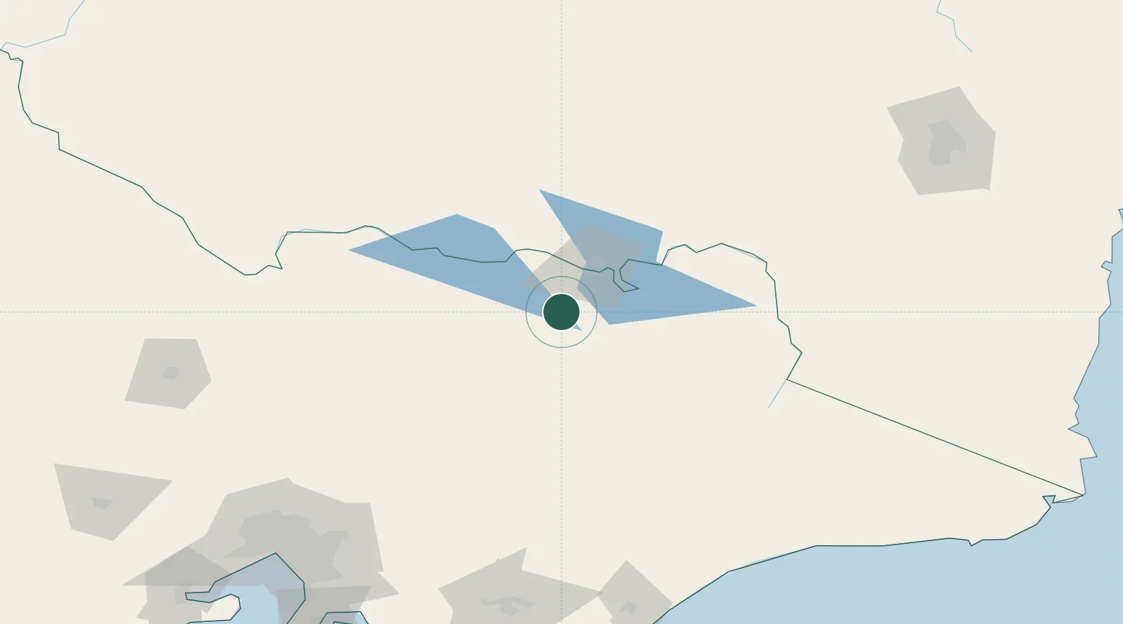
Hub Profile
Place type
Populated place
Region
Victoria
Population
4,274
Time zone
Australia/Melbourne
Elevation
548 m
Location
Nearby Logistics Neighbours
Cities
- 1Gapstead17 km
- 2Barnawartha30 km
- 3Carboor33 km
- 4Moyhu38 km
- 5Edi40 km
Ports
- 1Melbourne225 km
- 2Western Port257 km
- 3Welshpool260 km
- 4Geelong287 km
- 5Eden296 km
Airports
- 1Wangaratta Airport37 km
- 2Albury Airport40 km
- 3Corowa Airport53 km
- 4Benalla Airport67 km
- 5Mount Hotham Airport94 km
Trade Zones
DatabookThe Record of Consolidated Knowledge
Australia beyond logistics?