Transport Functions
Multimodal
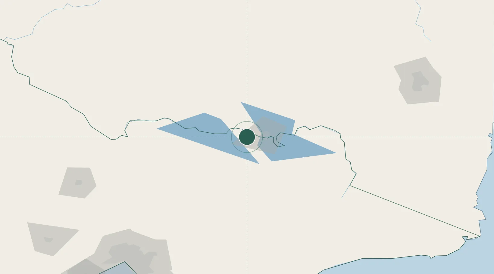
Hub Profile
Place type
Populated place
Region
Victoria
Population
871
Time zone
Australia/Melbourne
Elevation
176 m
Location
Nearby Logistics Neighbours
Cities
- 1Beechworth30 km
- 2Albury32 km
- 3Gapstead46 km
- 4Culcairn58 km
- 5Carboor60 km
Ports
- 1Melbourne245 km
- 2Western Port281 km
- 3Welshpool290 km
- 4Geelong306 km
- 5Eden309 km
Airports
- 1Albury Airport27 km
- 2Corowa Airport30 km
- 3Wangaratta Airport48 km
- 4Benalla Airport78 km
- 5Corryong Airport110 km
Trade Zones
DatabookThe Record of Consolidated Knowledge
Australia beyond logistics?