Medium airport · Australia
Albury AirportYMAY
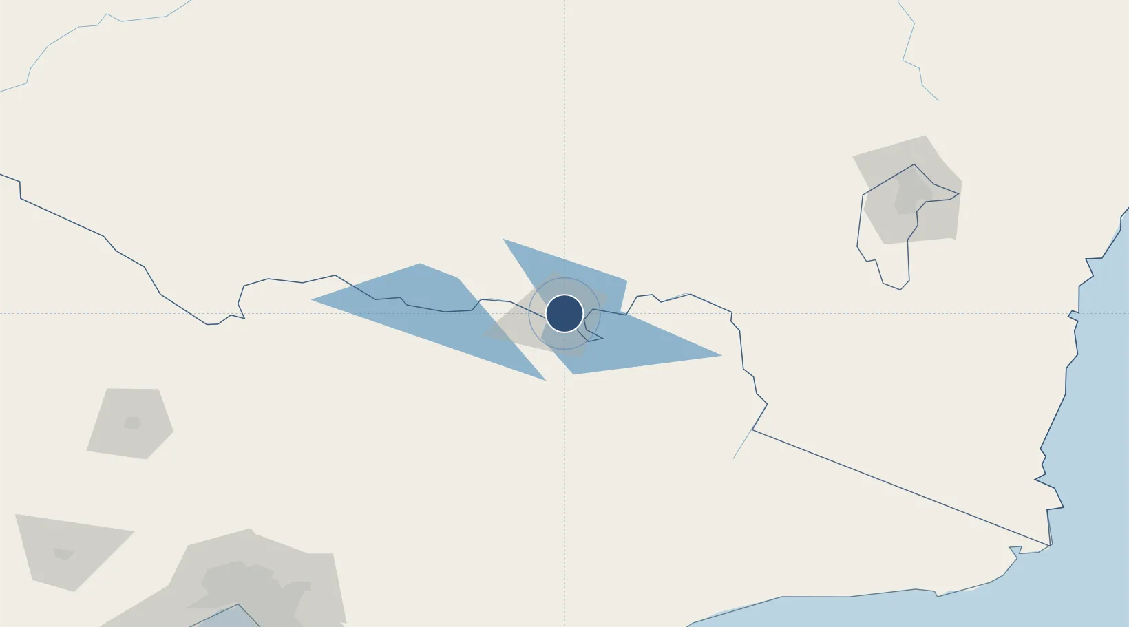
-36.0668°, 146.9591°
6,234 ft
Longest runway
1
Runways
539 ft
Elevation
Runway & Layout

Radio Frequencies
ATIS
115.6 MHz
Albury ATIS
ATIS
133.85 MHz
Albury ATIS
TWR
123.25 MHz
Albury Tower
CTAF
124.2 MHz
FSS
125.2 MHz
MELBOURNE CNTR
GCA
121.8 MHz
Albury Ground Control
Navaids
AY VOR-DME Albury 115.60 MHz
AY NDB Albury 236 kHz
Runways · 1
| Runway | Dimensions | Surface | True heading | Lit |
|---|---|---|---|---|
| 07/25 | 6,234 × 98ft | Asphalt | 081° | ✓ |
Airport Specifications
IATA code
ABX
ICAO code
YMAY
Airport class
Medium airport
Scheduled service
Yes
Runway surface
Asphalt
Served city
East Albury
Location
Nearby Logistics Neighbours
Airports
- 1Corowa Airport55 km
- 2Wangaratta Airport70 km
- 3Corryong Airport84 km
- 4Benalla Airport101 km
- 5Wagga Wagga Airport111 km
Cities
- 1Albury9 km
- 2Barnawartha27 km
- 3Beechworth40 km
- 4Culcairn45 km
- 5Koonoomoo48 km
Ports
- 1Melbourne264 km
- 2Eden287 km
- 3Batemans Bay292 km
- 4Welshpool296 km
- 5Western Port296 km
Trade Zones
DatabookThe Record of Consolidated Knowledge
Australia beyond logistics?