Medium airport · Australia

Corowa AirportYCOR

-35.9947°, 146.3570°
5,994 ft
Longest runway
2
Runways
469 ft
Elevation

Runway & Layout

Corowa Airport runway & taxiway layout
Runway & taxiway layout — OpenStreetMap (ODbL) / OurAirports

Radio Frequencies

CTAF
126.7 MHz
FSS
125.2 MHz
MELBOURNE CNTR
OurAirports

Navaids

COR NDB Corowa 380 kHz
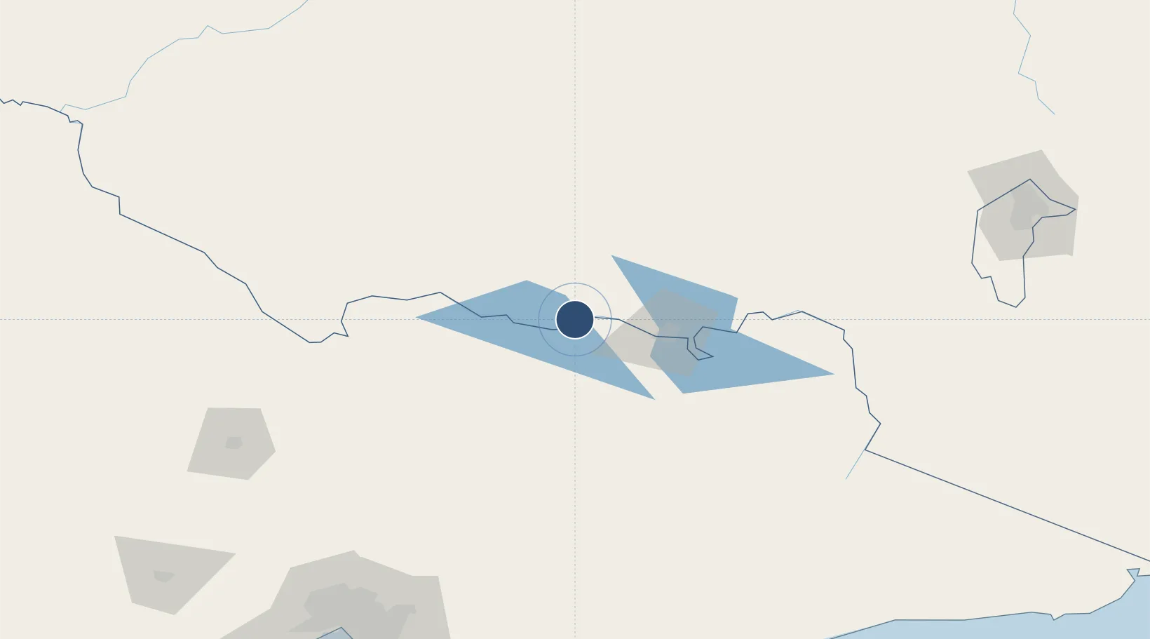
OurAirports

Runways · 2

RunwayDimensions SurfaceTrue headingLit
05/23 5,994 × 148ft Asphalt 055°
14/32 5,000 × 98ft Asphalt 145°
OurAirports

Airport Specifications

IATA code
CWW
OurAirports
ICAO code
YCOR
OurAirports
Airport class
Medium airport
OurAirports
Scheduled service
No
OurAirports
Runway surface
Asphalt
OurAirports

Location

Location of YCOR
Natural Earth 10m (public domain) · New South Wales · YCOR · -35.99, 146.36GoogleOSMYandex

Nearby Logistics Neighbours

Airports
  1. 1Wangaratta Airport47 km
  2. 2Albury Airport55 km
  3. 3Benalla Airport69 km
  4. 4Shepparton Airport99 km
  5. 5Deniliquin Airport136 km
Nearest neighbours — logibook spatial index (haversine) over the source coordinates
Cities
  1. 1Barnawartha30 km
  2. 2Mulwala32 km
  3. 3Beechworth53 km
  4. 4Albury57 km
  5. 5Cobram64 km
Nearest neighbours — logibook spatial index (haversine) over the source coordinates
Ports
  1. 1Melbourne239 km
  2. 2Western Port280 km
  3. 3Geelong298 km
  4. 4Welshpool301 km
  5. 5Eden340 km
Nearest neighbours — logibook spatial index (haversine) over the source coordinates
Trade Zones
  1. 1Latrobe Valley Economic Growth Zone249 km
  2. 2Paga Hill Estate Special Economic Zone2949 km
  3. 3Vanuatu Economic Development Zone3073 km
  4. 4Ihu Special Economic Zone3126 km
  5. 5Morobe Agricultural Special Economic Zone3263 km
Nearest neighbours — logibook spatial index (haversine) over the source coordinates
DatabookThe Record of Consolidated Knowledge
Australia beyond logistics?
Browse databook

All Sources

AirportsOurAirports
Public domain
Portsthe NGA World Port Index
Public domain (US gov)
LocationsUN/LOCODE
UN/LOCODE — free
Trade Zonesthe World Bank SEZ database
CC BY 4.0
Trade ZonesOpen Zone Map
CC BY
InfrastructureOpenStreetMap
ODbL 1.0
← Australia airports