Medium airport · Australia
Wangaratta AirportYWGT
-36.4179°, 146.3069°
5,381 ft
Longest runway
2
Runways
504 ft
Elevation
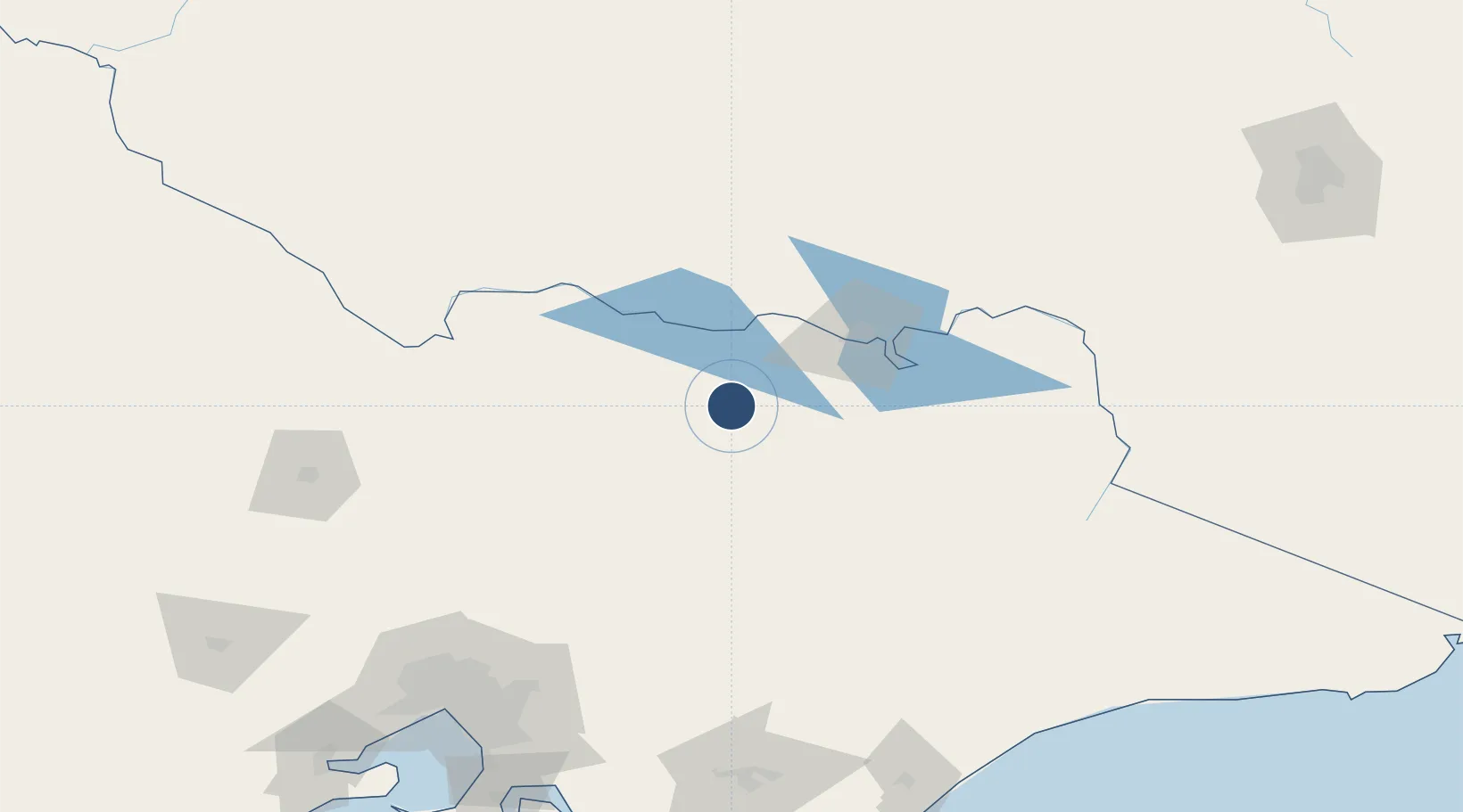
Runway & Layout

Radio Frequencies
CTAF
119.1 MHz
FSS
125.2 MHz
MELBOURNE CNTR
Navaids
WGT NDB Wangaratta 203 kHz
Runways · 2
| Runway | Dimensions | Surface | True heading | Lit |
|---|---|---|---|---|
| 18/36 | 5,381 × 98ft | Asphalt | 188° | ✓ |
| 09/27 | 1,739 × 60ft | Grass | 098° | — |
Airport Specifications
IATA code
WGT
ICAO code
YWGT
Airport class
Medium airport
Scheduled service
No
Runway surface
Asphalt
Served city
Laceby
Location
Nearby Logistics Neighbours
Airports
- 1Benalla Airport31 km
- 2Corowa Airport47 km
- 3Albury Airport70 km
- 4Shepparton Airport82 km
- 5Mount Hotham Airport115 km
Cities
- 1Moyhu22 km
- 2Edi28 km
- 3Carboor32 km
- 4Gapstead35 km
- 5Beechworth37 km
Ports
- 1Melbourne197 km
- 2Western Port235 km
- 3Welshpool254 km
- 4Geelong258 km
- 5Eden330 km
Trade Zones
DatabookThe Record of Consolidated Knowledge
Australia beyond logistics?