Transport Functions
Port
Rail
Road
Hub Profile
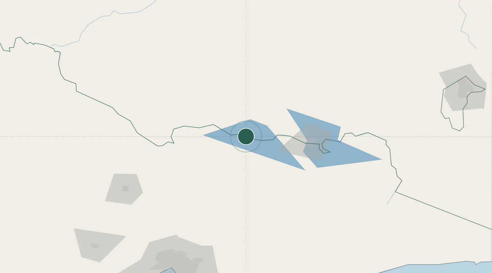
Place type
Populated place
Region
New South Wales
Population
2,302
Time zone
Australia/Sydney
Elevation
129 m
Location
Nearby Logistics Neighbours
Cities
- 1Cobram33 km
- 2Numurkah52 km
- 3Barnawartha61 km
- 4Moyhu76 km
- 5Beechworth76 km
Ports
- 1Melbourne224 km
- 2Western Port270 km
- 3Geelong280 km
- 4Welshpool303 km
- 5Eden370 km
Airports
- 1Corowa Airport32 km
- 2Wangaratta Airport54 km
- 3Benalla Airport61 km
- 4Shepparton Airport72 km
- 5Albury Airport87 km
Trade Zones
DatabookThe Record of Consolidated Knowledge
Australia beyond logistics?