Transport Functions
Rail
Road
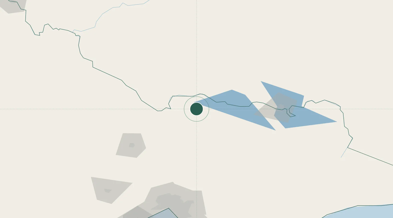
Hub Profile
Place type
Populated place
Region
Victoria
Population
4,396
Time zone
Australia/Melbourne
Elevation
110 m
Location
Nearby Logistics Neighbours
Ports
- 1Melbourne197 km
- 2Geelong247 km
- 3Western Port251 km
- 4Welshpool303 km
- 5Warrnambool366 km
Airports
- 1Shepparton Airport37 km
- 2Echuca Airport61 km
- 3Benalla Airport72 km
- 4Deniliquin Airport75 km
- 5Corowa Airport84 km
Trade Zones
DatabookThe Record of Consolidated Knowledge
Australia beyond logistics?