Transport Functions
Multimodal
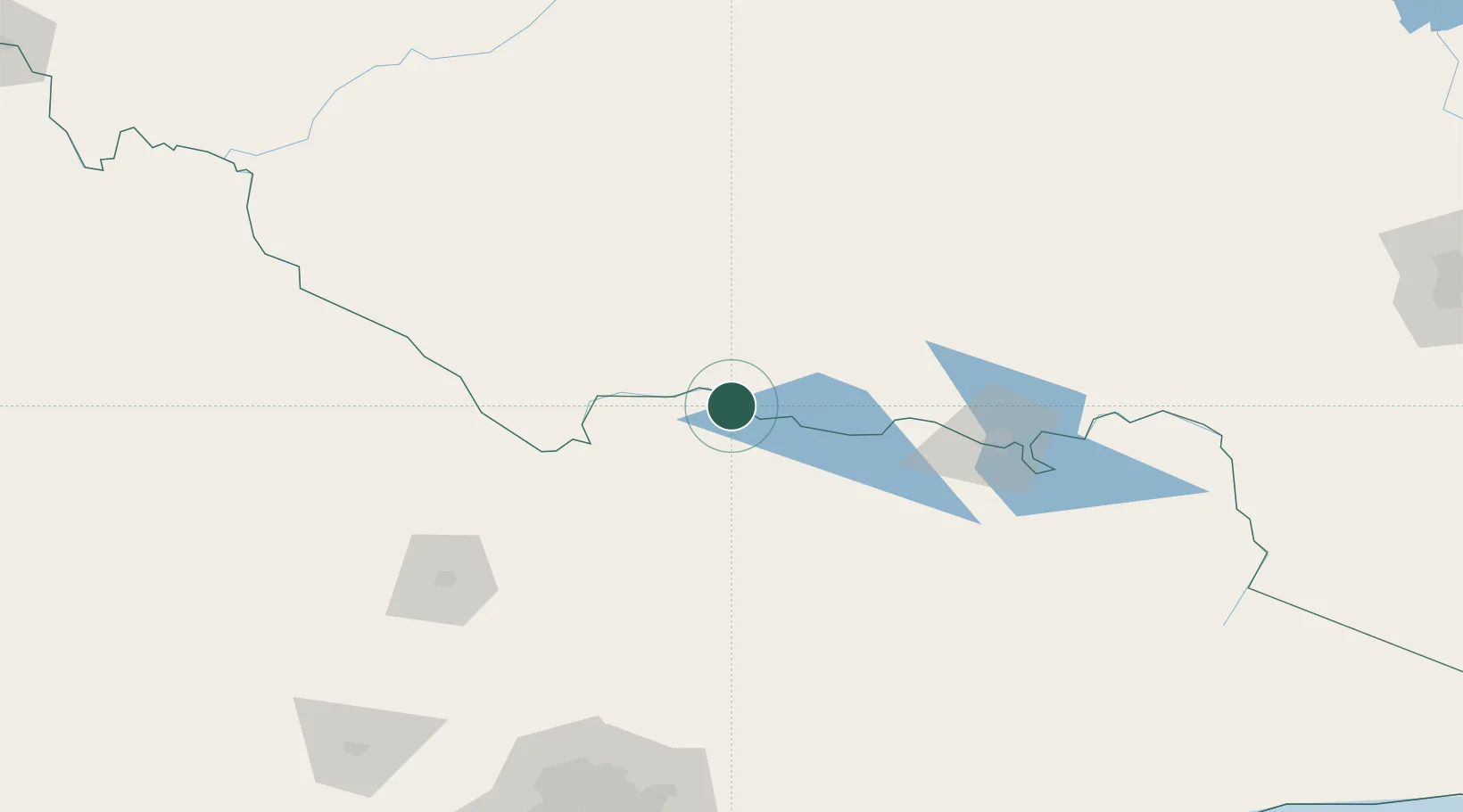
Hub Profile
Place type
Populated place
Region
Victoria
Population
6,148
Time zone
Australia/Melbourne
Elevation
114 m
Location
Nearby Logistics Neighbours
Cities
- 1Numurkah28 km
- 2Mulwala33 km
- 3Jerilderie64 km
- 4Mathoura70 km
- 5Moama83 km
Ports
- 1Melbourne222 km
- 2Western Port273 km
- 3Geelong273 km
- 4Welshpool318 km
- 5Warrnambool394 km
Airports
- 1Shepparton Airport61 km
- 2Corowa Airport64 km
- 3Deniliquin Airport75 km
- 4Benalla Airport78 km
- 5Wangaratta Airport81 km
Trade Zones
DatabookThe Record of Consolidated Knowledge
Australia beyond logistics?