UN/LOCODE hub · Australia
AUT3P
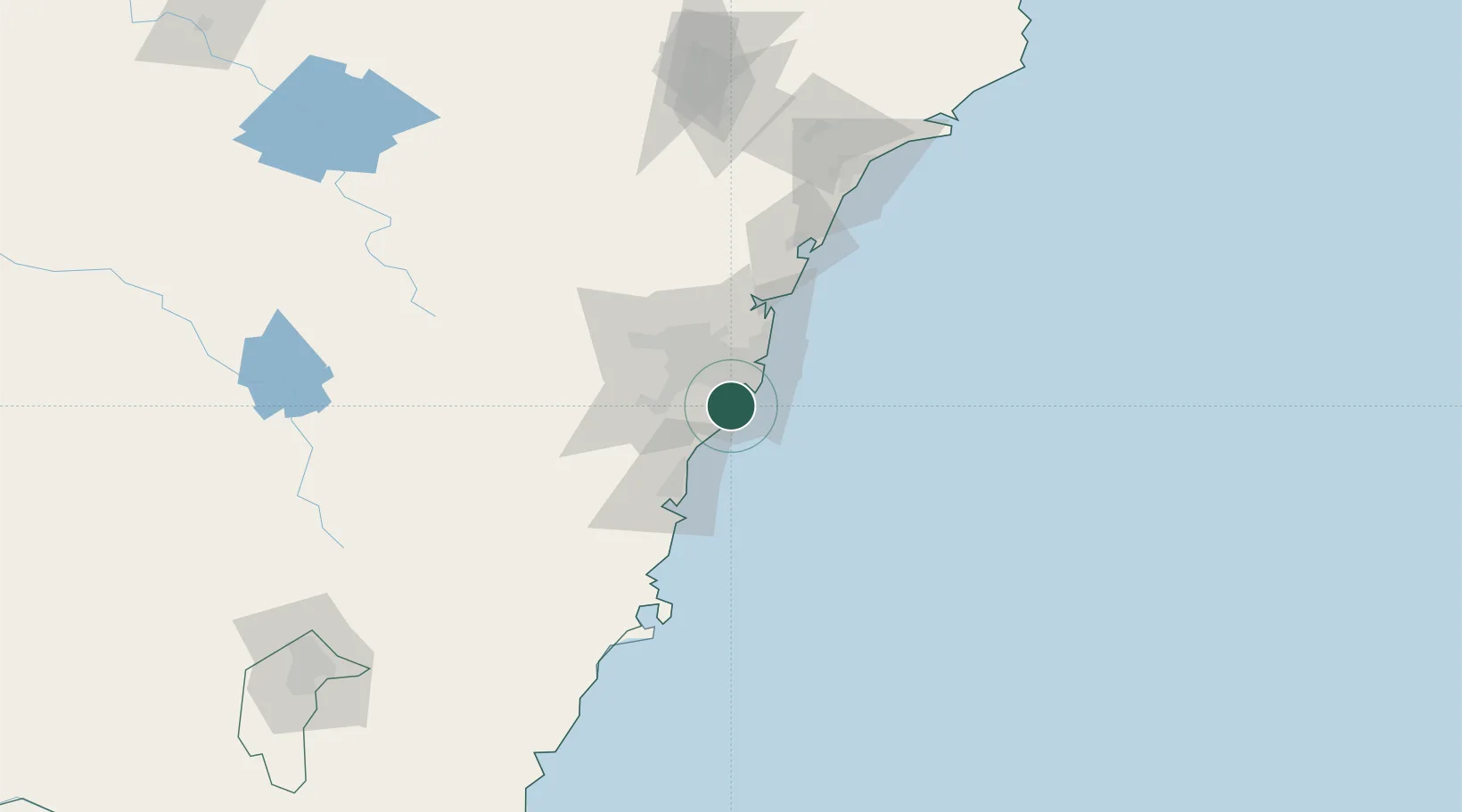
Port Hacking
-34.0667°, 151.1333°
1,079
Population
2
Transport functions
Transport Functions
Port
Road
Hub Profile
Place type
Urban district
Region
New South Wales
Population
1,079
Time zone
Australia/Sydney
Elevation
47 m
Location
Nearby Logistics Neighbours
Ports
- 1Botany Bay12 km
- 2Sydney23 km
- 3Port Kembla50 km
- 4Jervis Bay121 km
- 5Newcastle141 km
Airports
Trade Zones
DatabookThe Record of Consolidated Knowledge
Australia beyond logistics?