Transport Functions
Port
Multimodal
Hub Profile
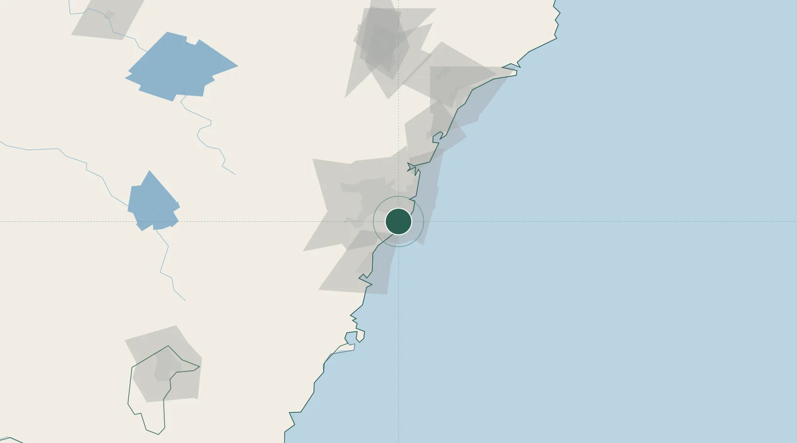
Place type
Urban district
Region
New South Wales
Population
17,703
Time zone
Australia/Sydney
Elevation
29 m
Location
Nearby Logistics Neighbours
Cities
- 1Caringbah2 km
- 2Port Hacking2 km
- 3Sylvania6 km
- 4Kogarah8 km
- 5Como10 km
Ports
- 1Botany Bay10 km
- 2Sydney21 km
- 3Port Kembla53 km
- 4Jervis Bay123 km
- 5Newcastle139 km
Airports
Trade Zones
DatabookThe Record of Consolidated Knowledge
Australia beyond logistics?