Transport Functions
Multimodal
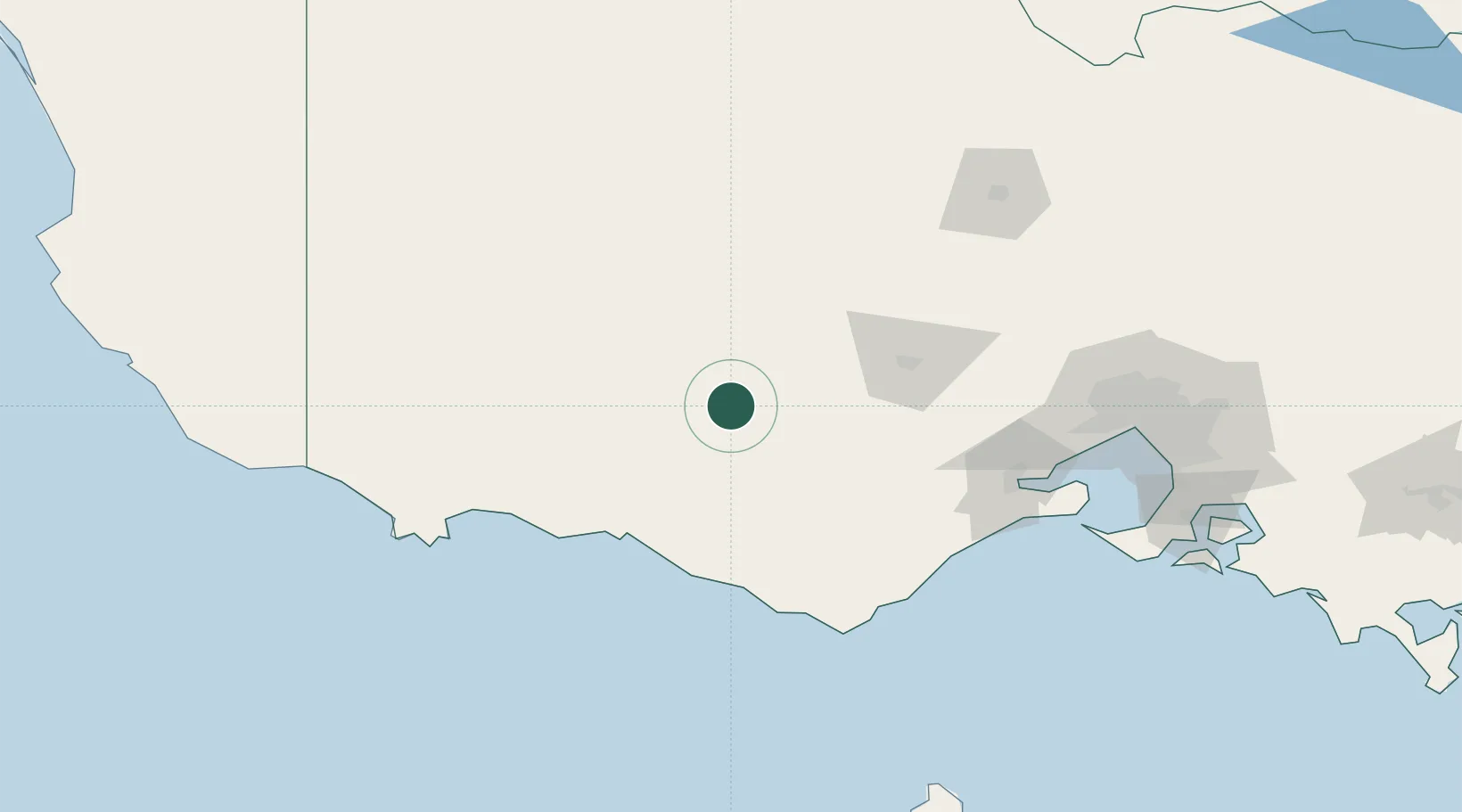
Hub Profile
Place type
Populated place
Region
Victoria
Population
291
Time zone
Australia/Melbourne
Elevation
251 m
Location
Nearby Logistics Neighbours
Ports
- 1Warrnambool84 km
- 2Geelong127 km
- 3Portland138 km
- 4Melbourne173 km
- 5Western Port206 km
Airports
- 1Ararat Airport51 km
- 2Stawell Airport81 km
- 3Hamilton Airport83 km
- 4Melbourne Avalon International Airport132 km
- 5Horsham Airport142 km
Trade Zones
DatabookThe Record of Consolidated Knowledge
Australia beyond logistics?