Medium airport · Australia

Hamilton AirportYHML
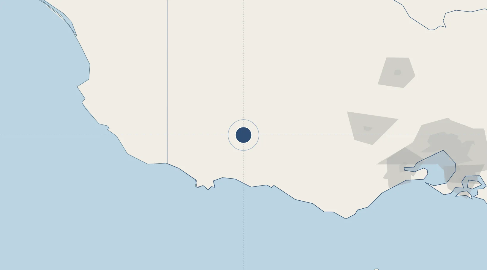
-37.6489°, 142.0650°
4,606 ft
Longest runway
2
Runways
803 ft
Elevation

Runway & Layout

Hamilton Airport runway & taxiway layout
Runway & taxiway layout — OpenStreetMap (ODbL) / OurAirports

Radio Frequencies

CTAF
124.2 MHz
FSS
125.8 MHz
MELBOURNE CNTR
OurAirports

Navaids

HML NDB Hamilton 203 kHz
OurAirports

Runways · 2

RunwayDimensions SurfaceTrue headingLit
17/35 4,606 × 98ft Asphalt 180°
10/28 4,045 × 98ft Gravel 113°
OurAirports

Airport Specifications

IATA code
HLT
OurAirports
ICAO code
YHML
OurAirports
Airport class
Medium airport
OurAirports
Scheduled service
No
OurAirports
Runway surface
Asphalt
OurAirports

Location

Location of YHML
Natural Earth 10m (public domain) · Victoria · YHML · -37.65, 142.07GoogleOSMYandex

Nearby Logistics Neighbours

Airports
  1. 1Stawell Airport88 km
  2. 2Ararat Airport90 km
  3. 3Portland Airport91 km
  4. 4Horsham Airport109 km
  5. 5Mount Gambier Airport114 km
Nearest neighbours — logibook spatial index (haversine) over the source coordinates
Cities
  1. 1Croxton17 km
  2. 2Willaura67 km
  3. 3Port Fairy81 km
  4. 4Tarrington83 km
  5. 5Great Western89 km
Nearest neighbours — logibook spatial index (haversine) over the source coordinates
Ports
  1. 1Portland86 km
  2. 2Warrnambool91 km
  3. 3Geelong210 km
  4. 4Melbourne256 km
  5. 5Western Port288 km
Nearest neighbours — logibook spatial index (haversine) over the source coordinates
Trade Zones
  1. 1Latrobe Valley Economic Growth Zone385 km
  2. 2Paga Hill Estate Special Economic Zone3173 km
  3. 3Ihu Special Economic Zone3325 km
  4. 4Western Province Special Economic Zone3423 km
  5. 5Morobe Agricultural Special Economic Zone3467 km
Nearest neighbours — logibook spatial index (haversine) over the source coordinates
DatabookThe Record of Consolidated Knowledge
Australia beyond logistics?
Browse databook

All Sources

AirportsOurAirports
Public domain
Portsthe NGA World Port Index
Public domain (US gov)
LocationsUN/LOCODE
UN/LOCODE — free
Trade Zonesthe World Bank SEZ database
CC BY 4.0
Trade ZonesOpen Zone Map
CC BY
InfrastructureOpenStreetMap
ODbL 1.0
← Australia airports