Transport Functions
Rail
Road
Hub Profile
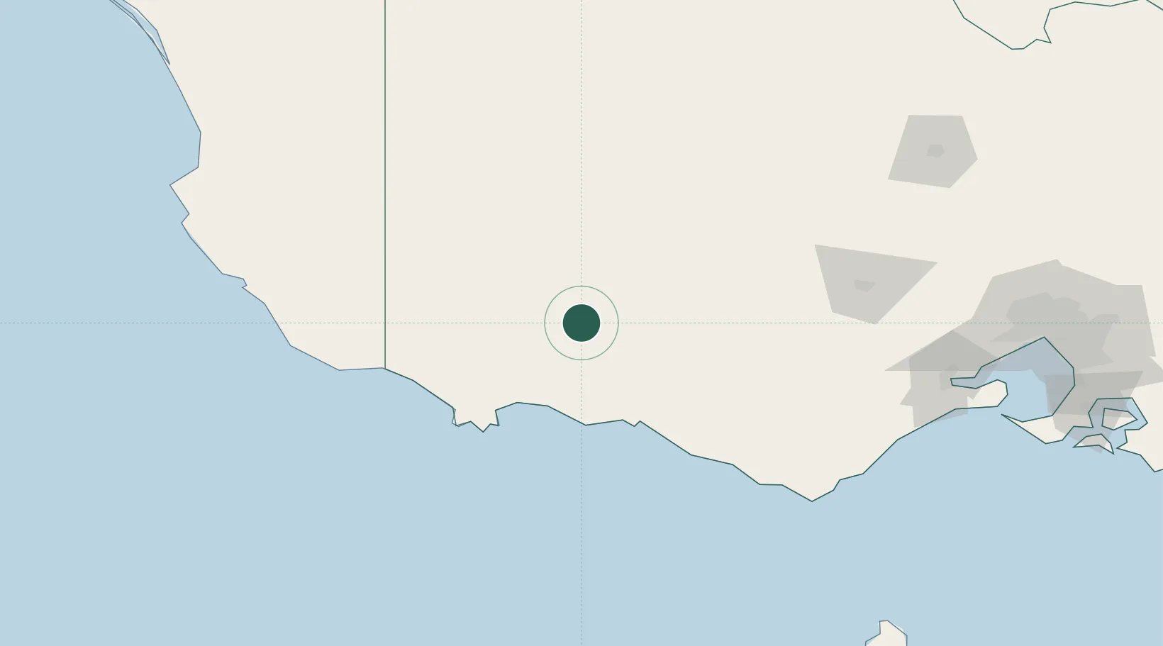
Place type
Populated place
Region
Victoria
Time zone
Australia/Melbourne
Elevation
225 m
Location
Nearby Logistics Neighbours
Cities
- 1Port Fairy65 km
- 2Willaura69 km
- 3Tarrington75 km
- 4Great Western94 km
- 5Bayindeen104 km
Ports
- 1Warrnambool75 km
- 2Portland78 km
- 3Geelong199 km
- 4Melbourne248 km
- 5Western Port277 km
Airports
- 1Hamilton Airport17 km
- 2Portland Airport84 km
- 3Ararat Airport91 km
- 4Stawell Airport95 km
- 5Mount Gambier Airport121 km
Trade Zones
DatabookThe Record of Consolidated Knowledge
Australia beyond logistics?