Medium airport · Australia
Young AirportYYNG
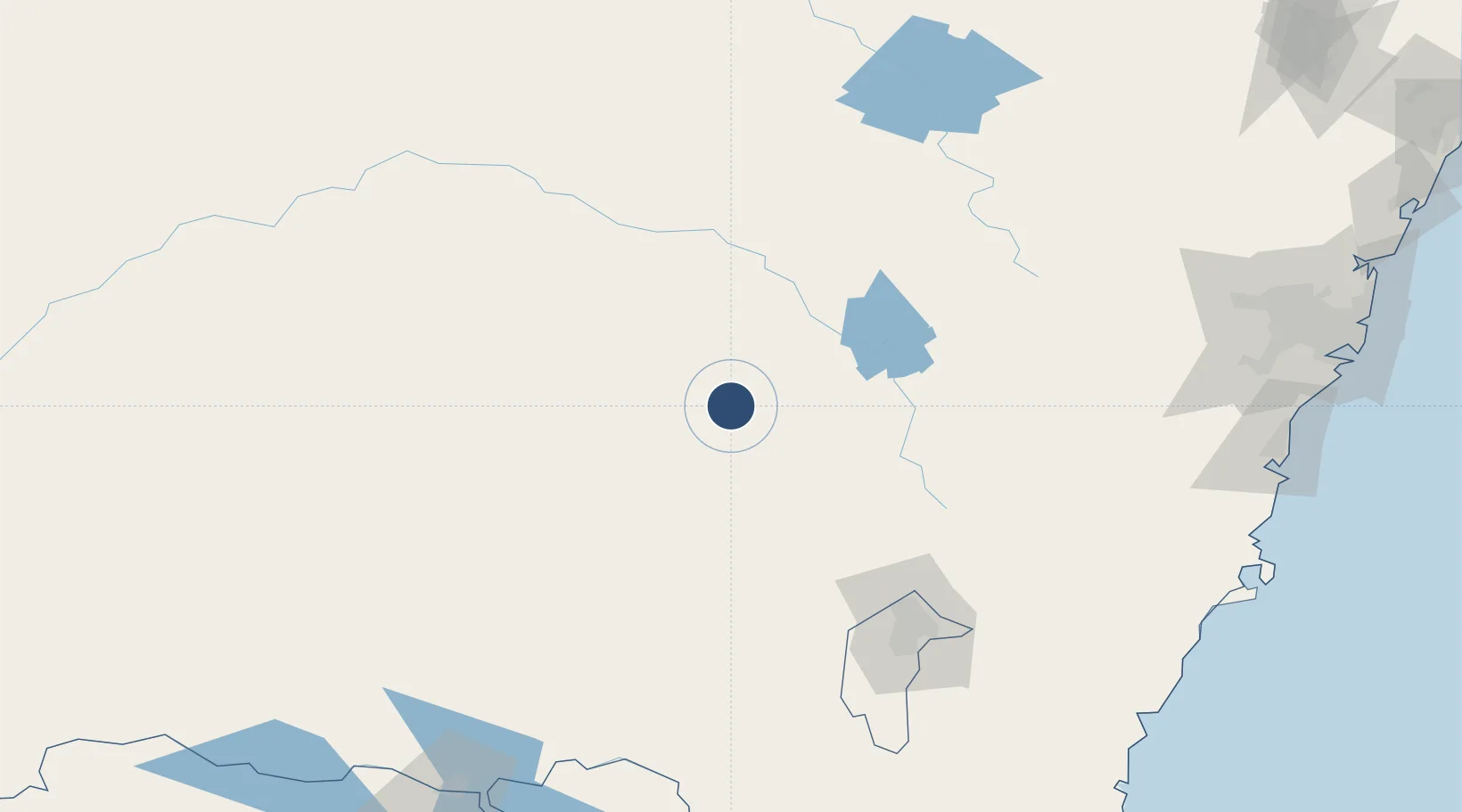
-34.2556°, 148.2471°
4,003 ft
Longest runway
1
Runways
1,267 ft
Elevation
Runway & Layout

Radio Frequencies
CTAF
126.7 MHz
FSS
135.25 MHz
MELBOURNE CNTR
Navaids
YNG NDB Young 269 kHz
Runways · 1
| Runway | Dimensions | Surface | True heading | Lit |
|---|---|---|---|---|
| 01/19 | 4,003 × 60ft | Asphalt | 015° | ✓ |
Airport Specifications
IATA code
NGA
ICAO code
YYNG
Airport class
Medium airport
Scheduled service
No
Runway surface
Asphalt
Location
Nearby Logistics Neighbours
Airports
- 1Cootamundra Airport45 km
- 2Cowra Airport59 km
- 3Temora Airport70 km
- 4Forbes Airport103 km
- 5West Wyalong Airport104 km
Cities
- 1Wondalga19 km
- 2Bendick Murrell21 km
- 3Wallendbeen32 km
- 4Harden35 km
- 5Koorawatha37 km
Ports
- 1Batemans Bay237 km
- 2Port Kembla246 km
- 3Jervis Bay252 km
- 4Sydney275 km
- 5Botany Bay276 km
Trade Zones
DatabookThe Record of Consolidated Knowledge
Australia beyond logistics?