Transport Functions
Rail
Road
Hub Profile
Place type
Populated place
Region
New South Wales
Population
251
Time zone
Australia/Sydney
Elevation
506 m
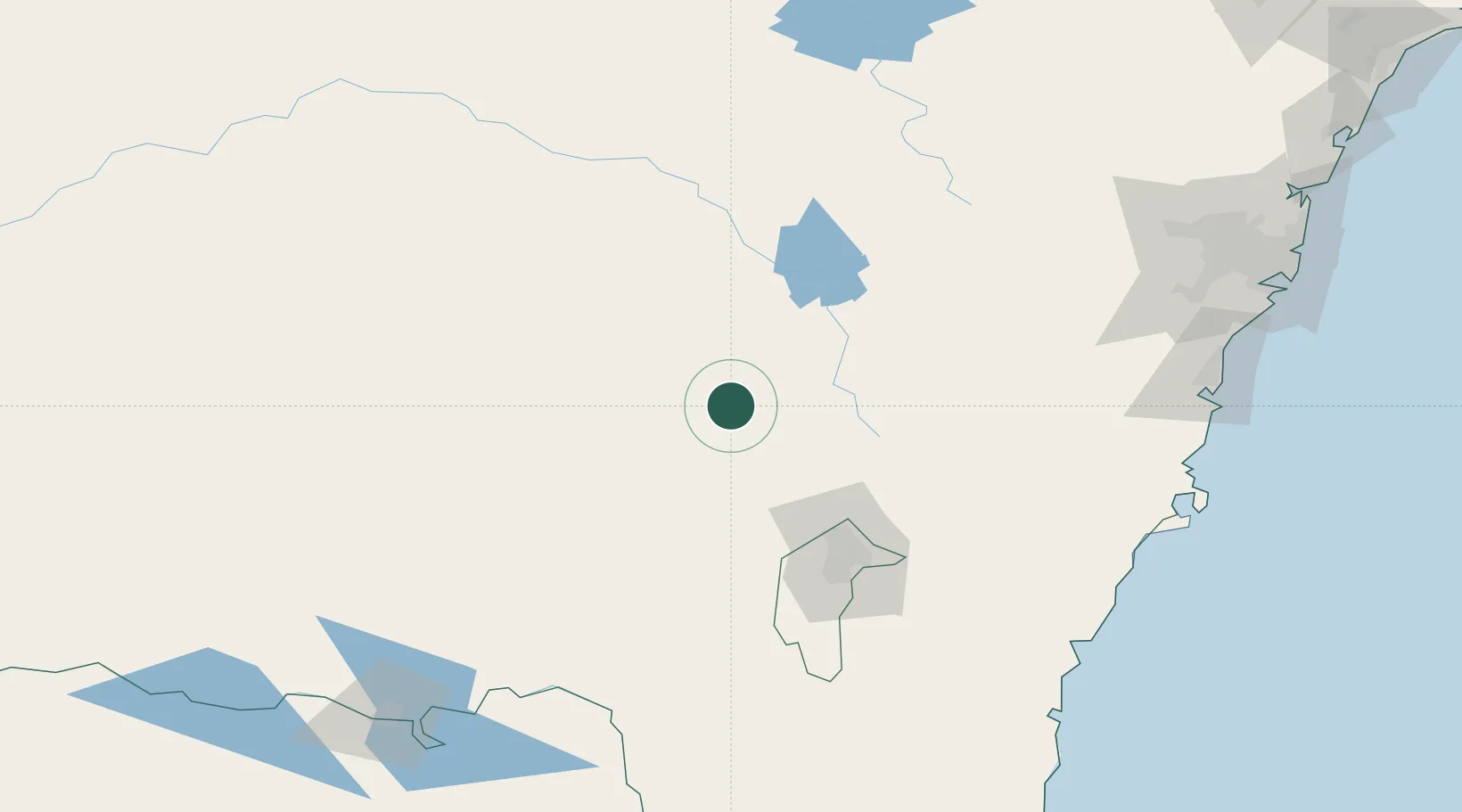
Location
Nearby Logistics Neighbours
Cities
- 1Binalong10 km
- 2Harden18 km
- 3Bowning29 km
- 4Wallendbeen37 km
- 5Yass40 km
Ports
- 1Batemans Bay190 km
- 2Jervis Bay212 km
- 3Port Kembla216 km
- 4Botany Bay254 km
- 5Sydney255 km
Airports
- 1Young Airport48 km
- 2Cootamundra Airport49 km
- 3Tumut Aerodrome80 km
- 4Gundaroo Airport80 km
- 5Cowra Airport84 km
Trade Zones
DatabookThe Record of Consolidated Knowledge
Australia beyond logistics?