UN/LOCODE hub · Australia
AUWDG

Wondalga

-34.4167°, 148.1667°
2
Transport functions

Transport Functions

Rail
Road
UN/LOCODE

Hub Profile

Region
NSW
GeoNames

Location

Location of AUWDG
Natural Earth 10m (public domain) · NSW · AUWDG · -34.42, 148.17GoogleOSMYandex

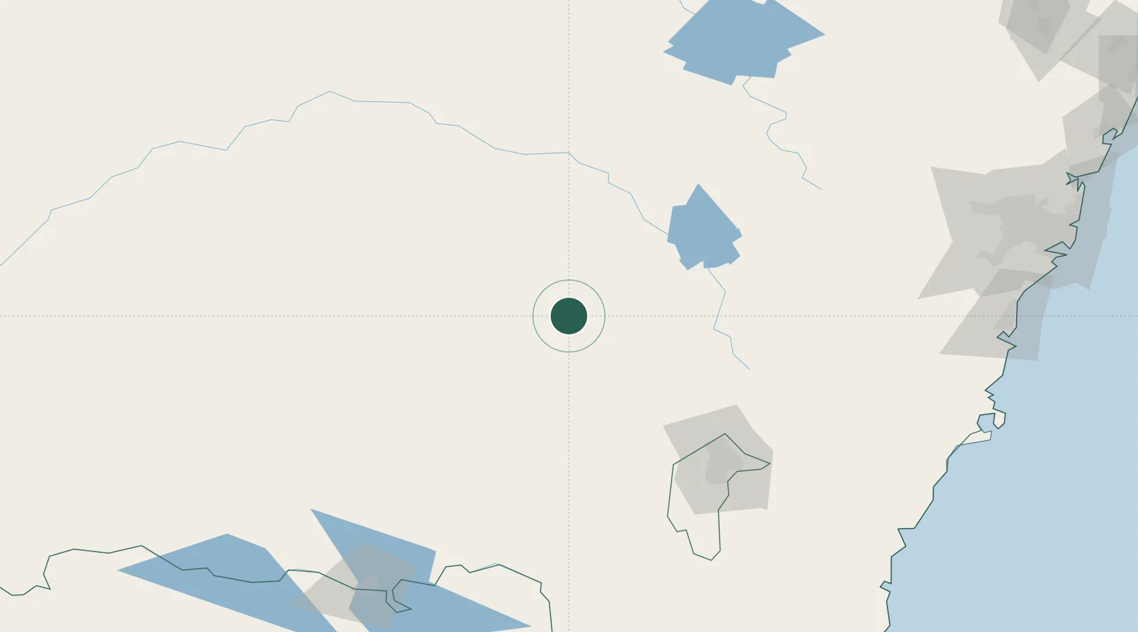
Nearby Logistics Neighbours

Cities
  1. 1Wallendbeen13 km
  2. 2Harden25 km
  3. 3Stockinbingal28 km
  4. 4Bendick Murrell38 km
  5. 5Galong42 km
Nearest neighbours — logibook spatial index (haversine) over the source coordinates
Ports
  1. 1Batemans Bay231 km
  2. 2Port Kembla252 km
  3. 3Jervis Bay253 km
  4. 4Sydney286 km
  5. 5Botany Bay286 km
Nearest neighbours — logibook spatial index (haversine) over the source coordinates
Airports
  1. 1Young Airport19 km
  2. 2Cootamundra Airport26 km
  3. 3Temora Airport60 km
  4. 4Cowra Airport77 km
  5. 5Tumut Aerodrome95 km
Nearest neighbours — logibook spatial index (haversine) over the source coordinates
Trade Zones
  1. 1Latrobe Valley Economic Growth Zone453 km
  2. 2Hicks Bay Area Special Economic Zone2707 km
  3. 3Paga Hill Estate Special Economic Zone2775 km
  4. 4Vanuatu Economic Development Zone2834 km
  5. 5Ihu Special Economic Zone2963 km
Nearest neighbours — logibook spatial index (haversine) over the source coordinates
DatabookThe Record of Consolidated Knowledge
Australia beyond logistics?
Browse databook

All Sources

LocationsUN/LOCODE
UN/LOCODE — free
Portsthe NGA World Port Index
Public domain (US gov)
AirportsOurAirports
Public domain
Trade Zonesthe World Bank SEZ database
CC BY 4.0
Trade ZonesOpen Zone Map
CC BY
← Australia locations