Medium airport · Australia

Cootamundra AirportYCTM
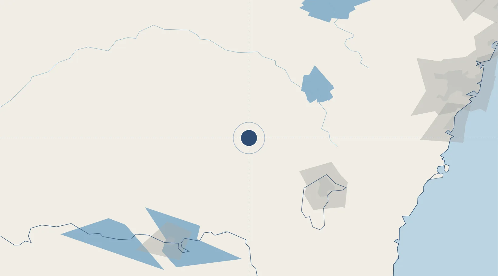
-34.6243°, 148.0366°
4,682 ft
Longest runway
2
Runways
1,110 ft
Elevation

Runway & Layout

Cootamundra Airport runway & taxiway layout
Runway & taxiway layout — OpenStreetMap (ODbL) / OurAirports

Radio Frequencies

CTAF
126.7 MHz
FSS
124.1 MHz
MELBOURNE CNTR
OurAirports

Navaids

CTM NDB Cootamundra 404 kHz
OurAirports

Runways · 2

RunwayDimensions SurfaceTrue headingLit
16/34 4,682 × 60ft Asphalt 174°
10/28 2,805 × 98ft Grass 111°
OurAirports

Airport Specifications

IATA code
CMD
OurAirports
ICAO code
YCTM
OurAirports
Airport class
Medium airport
OurAirports
Scheduled service
No
OurAirports
Runway surface
Asphalt
OurAirports

Location

Location of YCTM
Natural Earth 10m (public domain) · New South Wales · YCTM · -34.62, 148.04GoogleOSMYandex

Nearby Logistics Neighbours

Airports
  1. 1Young Airport45 km
  2. 2Temora Airport53 km
  3. 3Tumut Aerodrome74 km
  4. 4Wagga Wagga Airport79 km
  5. 5Cowra Airport103 km
Nearest neighbours — logibook spatial index (haversine) over the source coordinates
Cities
  1. 1Wallendbeen16 km
  2. 2Stockinbingal20 km
  3. 3Muttama21 km
  4. 4Wondalga26 km
  5. 5Harden33 km
Nearest neighbours — logibook spatial index (haversine) over the source coordinates
Ports
  1. 1Batemans Bay228 km
  2. 2Jervis Bay258 km
  3. 3Port Kembla264 km
  4. 4Botany Bay302 km
  5. 5Sydney303 km
Nearest neighbours — logibook spatial index (haversine) over the source coordinates
Trade Zones
  1. 1Latrobe Valley Economic Growth Zone428 km
  2. 2Hicks Bay Area Special Economic Zone2712 km
  3. 3Paga Hill Estate Special Economic Zone2797 km
  4. 4Vanuatu Economic Development Zone2858 km
  5. 5Ihu Special Economic Zone2984 km
Nearest neighbours — logibook spatial index (haversine) over the source coordinates
DatabookThe Record of Consolidated Knowledge
Australia beyond logistics?
Browse databook

All Sources

AirportsOurAirports
Public domain
Portsthe NGA World Port Index
Public domain (US gov)
LocationsUN/LOCODE
UN/LOCODE — free
Trade Zonesthe World Bank SEZ database
CC BY 4.0
Trade ZonesOpen Zone Map
CC BY
InfrastructureOpenStreetMap
ODbL 1.0
← Australia airports