Transport Functions
Rail
Road
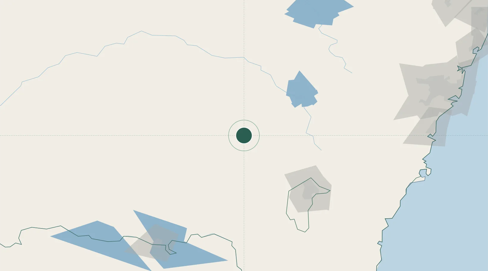
Hub Profile
Place type
Populated place
Region
New South Wales
Population
244
Time zone
Australia/Sydney
Elevation
479 m
Location
Nearby Logistics Neighbours
Cities
- 1Wondalga13 km
- 2Harden20 km
- 3Stockinbingal26 km
- 4Muttama30 km
- 5Galong37 km
Ports
- 1Batemans Bay223 km
- 2Jervis Bay249 km
- 3Port Kembla252 km
- 4Botany Bay288 km
- 5Sydney289 km
Airports
- 1Cootamundra Airport16 km
- 2Young Airport32 km
- 3Temora Airport61 km
- 4Tumut Aerodrome82 km
- 5Cowra Airport88 km
Trade Zones
DatabookThe Record of Consolidated Knowledge
Australia beyond logistics?