UN/LOCODE hub · Australia
AUHDN

Harden

-34.5500°, 148.3833°
2
Transport functions

Transport Functions

Rail
Road
UN/LOCODE

Hub Profile

Region
NSW
GeoNames

Location

Location of AUHDN
Natural Earth 10m (public domain) · NSW · AUHDN · -34.55, 148.38GoogleOSMYandex

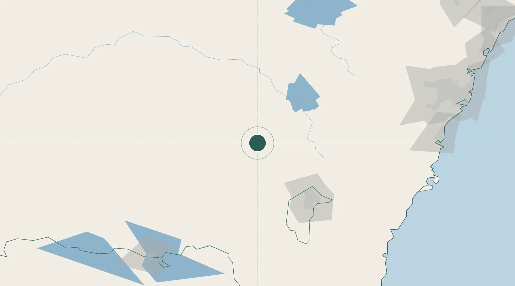
Nearby Logistics Neighbours

Cities
  1. 1Galong18 km
  2. 2Wallendbeen20 km
  3. 3Wondalga25 km
  4. 4Binalong26 km
  5. 5Muttama37 km
Nearest neighbours — logibook spatial index (haversine) over the source coordinates
Ports
  1. 1Batemans Bay207 km
  2. 2Jervis Bay229 km
  3. 3Port Kembla232 km
  4. 4Botany Bay269 km
  5. 5Sydney270 km
Nearest neighbours — logibook spatial index (haversine) over the source coordinates
Airports
  1. 1Cootamundra Airport33 km
  2. 2Young Airport35 km
  3. 3Tumut Aerodrome81 km
  4. 4Temora Airport81 km
  5. 5Cowra Airport82 km
Nearest neighbours — logibook spatial index (haversine) over the source coordinates
Trade Zones
  1. 1Latrobe Valley Economic Growth Zone447 km
  2. 2Hicks Bay Area Special Economic Zone2684 km
  3. 3Paga Hill Estate Special Economic Zone2790 km
  4. 4Vanuatu Economic Development Zone2829 km
  5. 5Ihu Special Economic Zone2980 km
Nearest neighbours — logibook spatial index (haversine) over the source coordinates
DatabookThe Record of Consolidated Knowledge
Australia beyond logistics?
Browse databook

All Sources

LocationsUN/LOCODE
UN/LOCODE — free
Portsthe NGA World Port Index
Public domain (US gov)
AirportsOurAirports
Public domain
Trade Zonesthe World Bank SEZ database
CC BY 4.0
Trade ZonesOpen Zone Map
CC BY
← Australia locations