Medium airport · Australia
Ngukurr AirportYNGU
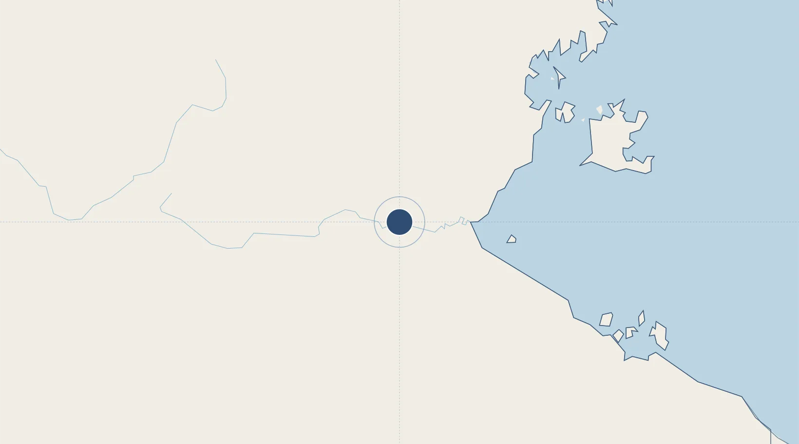
-14.7228°, 134.7470°
5,020 ft
Longest runway
1
Runways
45 ft
Elevation
Runway & Layout

Radio Frequencies
CTAF
126.7 MHz
FSS
122.6 MHz
BRISBANE CNTR
Navaids
NGU NDB Ngukurr 233 kHz
Runways · 1
| Runway | Dimensions | Surface | True heading | Lit |
|---|---|---|---|---|
| 11/29 | 5,020 × 59ft | Asphalt | 115° | ✓ |
Airport Specifications
IATA code
RPM
ICAO code
YNGU
Airport class
Medium airport
Scheduled service
No
Runway surface
Asphalt
Location
Nearby Logistics Neighbours
Airports
- 1Groote Eylandt Airport202 km
- 2McArthur River Mine Airport239 km
- 3Tindal Airport256 km
- 4Ramingining Airport264 km
- 5Lake Evella Airport273 km
Cities
- 1Bing Bong198 km
- 2Umbakumba242 km
- 3Katherine269 km
- 4Dhipirrinjura277 km
- 5Langarra301 km
Ports
- 1Milner Bay204 km
- 2Gove351 km
- 3Darwin490 km
- 4Wyndham718 km
- 5Karumba719 km
Trade Zones
DatabookThe Record of Consolidated Knowledge
Australia beyond logistics?