Transport Functions
Port
Road
Hub Profile
Place type
Urban district
Region
New South Wales
Population
295
Time zone
Australia/Sydney
Elevation
120 m
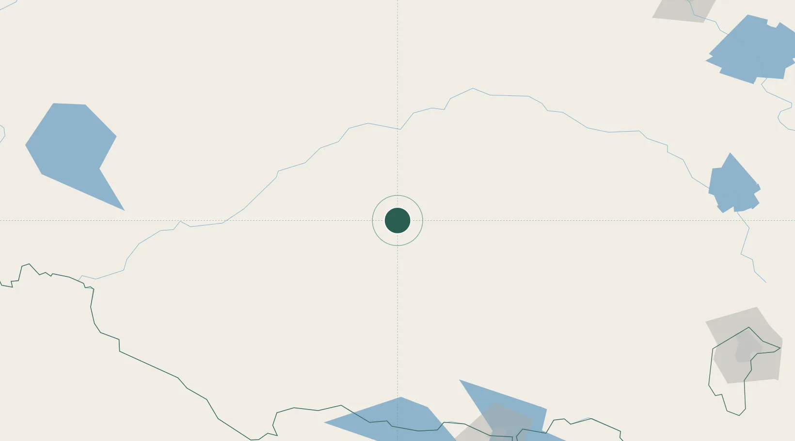
Location
Nearby Logistics Neighbours
Cities
- 1Beelbangera10 km
- 2Hanwood15 km
- 3Yenda16 km
- 4Binya29 km
- 5Whitton38 km
Ports
- 1Batemans Bay412 km
- 2Melbourne415 km
- 3Jervis Bay448 km
- 4Port Kembla449 km
- 5Geelong464 km
Airports
- 1Griffith Airport6 km
- 2Narrandera Airport71 km
- 3West Wyalong Airport111 km
- 4Hay Airport116 km
- 5Temora Airport138 km
Trade Zones
DatabookThe Record of Consolidated Knowledge
Australia beyond logistics?