Transport Functions
Port
Multimodal
Hub Profile
Place type
Populated place
Region
New South Wales
Population
1,227
Time zone
Australia/Sydney
Elevation
125 m
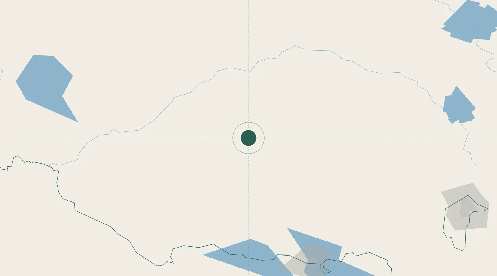
Location
Nearby Logistics Neighbours
Cities
- 1Beelbangera10 km
- 2Nericon15 km
- 3Yenda16 km
- 4Whitton25 km
- 5Binya31 km
Ports
- 1Melbourne401 km
- 2Batemans Bay406 km
- 3Jervis Bay444 km
- 4Port Kembla448 km
- 5Geelong450 km
Airports
- 1Griffith Airport10 km
- 2Narrandera Airport60 km
- 3Hay Airport113 km
- 4West Wyalong Airport115 km
- 5Temora Airport136 km
Trade Zones
DatabookThe Record of Consolidated Knowledge
Australia beyond logistics?