Medium airport · Australia
Hay AirportYHAY
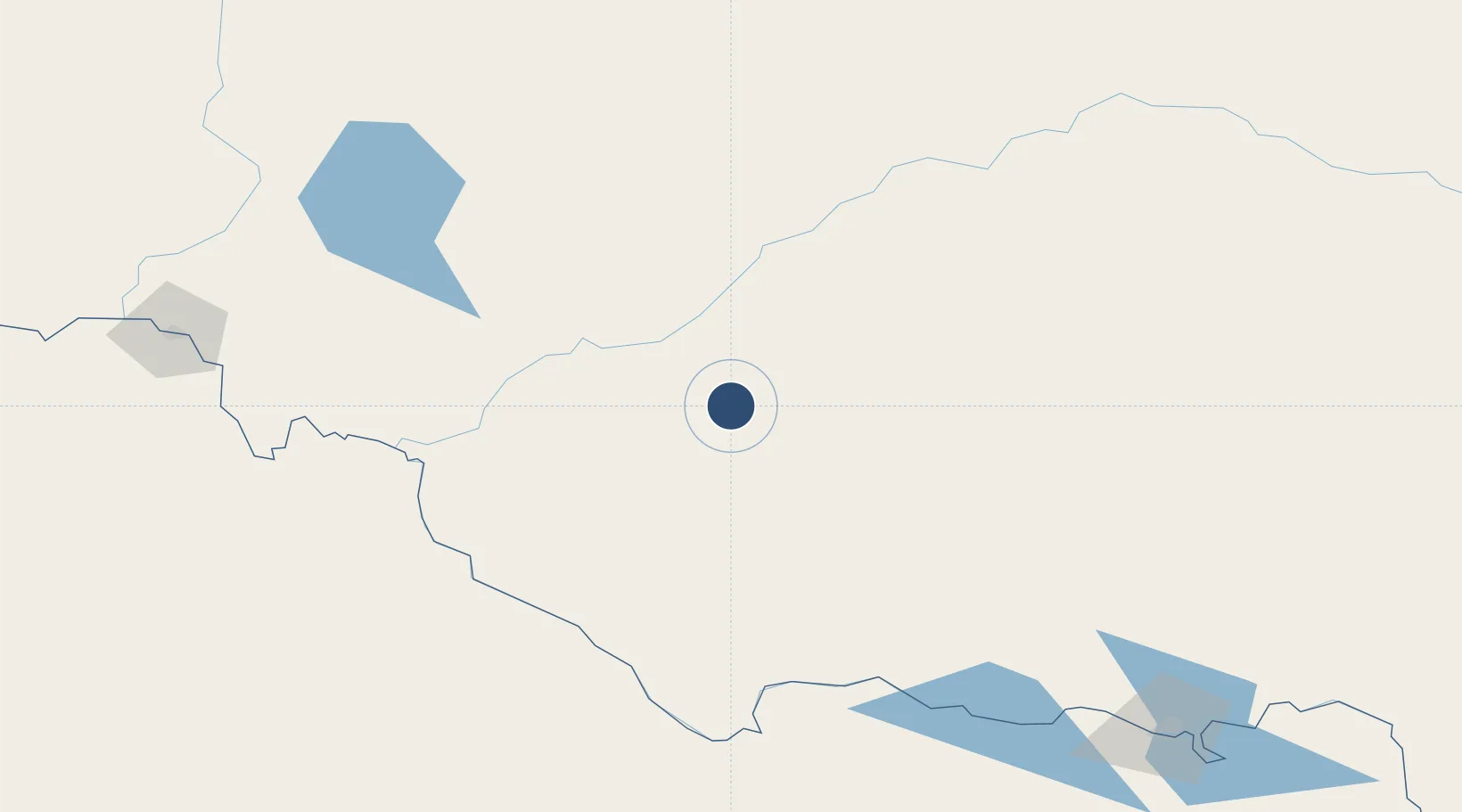
-34.5314°, 144.8300°
4,800 ft
Longest runway
2
Runways
305 ft
Elevation
Runway & Layout

Radio Frequencies
CTAF
126.7 MHz
FSS
118.6 MHz
MELBOURNE CNTR
Navaids
HAY NDB Hay 215 kHz
Runways · 2
| Runway | Dimensions | Surface | True heading | Lit |
|---|---|---|---|---|
| 04/22 | 4,800 × 98ft | Asphalt | 044° | ✓ |
| 15/33 | 3,740 × 98ft | Graded earth | 155° | — |
Airport Specifications
IATA code
HXX
ICAO code
YHAY
Airport class
Medium airport
Scheduled service
No
Runway surface
Asphalt
Location
Nearby Logistics Neighbours
Airports
- 1Deniliquin Airport115 km
- 2Balranald Airport115 km
- 3Griffith Airport118 km
- 4Swan Hill Airport151 km
- 5Narrandera Airport155 km
Cities
- 1Hanwood113 km
- 2Nericon116 km
- 3Beelbangera120 km
- 4Jerilderie123 km
- 5Whitton124 km
Ports
- 1Melbourne367 km
- 2Geelong405 km
- 3Western Port426 km
- 4Warrnambool479 km
- 5Welshpool486 km
Trade Zones
DatabookThe Record of Consolidated Knowledge
Australia beyond logistics?