Transport Functions
Port
Hub Profile
Place type
Populated place
Region
New South Wales
Population
396
Time zone
Australia/Sydney
Elevation
129 m
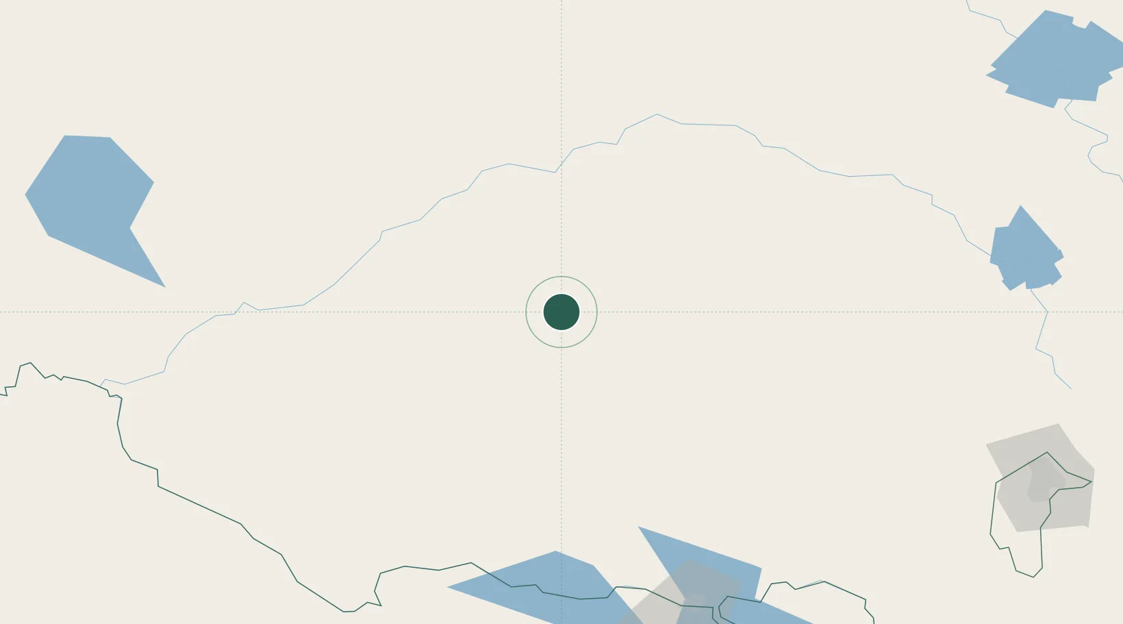
Location
Nearby Logistics Neighbours
Ports
- 1Batemans Bay403 km
- 2Melbourne410 km
- 3Jervis Bay440 km
- 4Port Kembla443 km
- 5Geelong459 km
Airports
- 1Griffith Airport4 km
- 2Narrandera Airport61 km
- 3West Wyalong Airport107 km
- 4Hay Airport120 km
- 5Temora Airport131 km
Trade Zones
DatabookThe Record of Consolidated Knowledge
Australia beyond logistics?